
Meanwhile, cold air continues to pour into the area as temperatures are dropping into the 20s. Temperatures will continue to fall, reaching the teens by evening.
The snow will continue to push eastward and will overspread the entire state by noon. It will increase in intensity and become heavy at times during the afternoon hours.
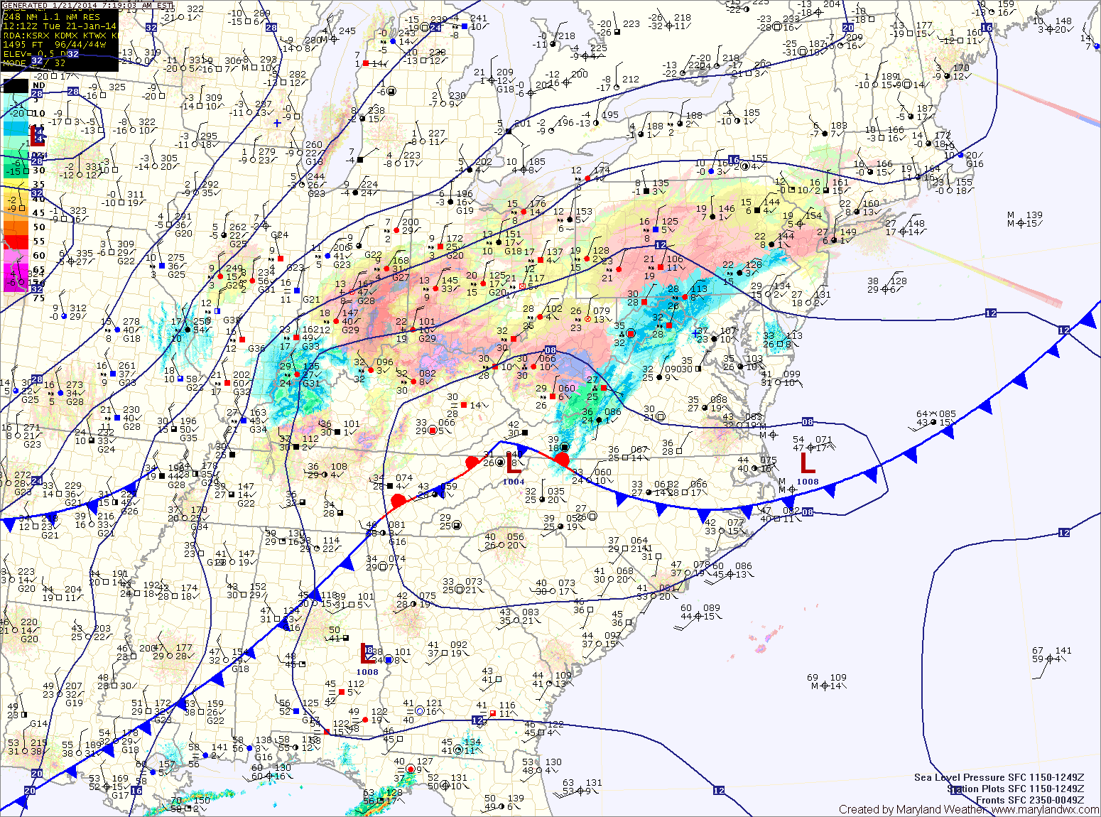
A Winter Storm Warning is now in effect for the entire state and will remain in effect into tonight.
Snowfall Totals (from west to east):
Western Maryland mountains: 6-8″
North Central/Eastern Maryland: 8-12″
Central Maryland, including the DC/Balt. metro: 6-10″
Lower Southern Maryland: 4-8″
Eastern Shore: 6-10″
Lower Eastern Shore: 4-6″
The snowfall will be very light and fluffy and as winds increase this afternoon, blowing and drifting will become an issue. Additionally, the winds gusting to near 40mph will combine with the colder air to create dangerous wind chill values tonight.
A Wind Chill Warning is in effect for the mountains tonight into tomorrow morning for wind chill values below -35 degrees.
A Wind Chill Advisory is in effect for central Maryland tonight into tomorrow morning for values from -5 to -15 degrees.
Tomorrow will very cold with highs only in the teens. Winds will continue to gust to around 25mph through the day, making it feel much colder. Additionally, blowing snow will continue to be an issue.
The remainder of the work week will be very cold with highs on Thursday only reaching the low 20s and highs on Friday only around 20. A clipper system moving through will bring a chance of flurries Thursday.
We will warm a bit as we move into the weekend, with highs on Saturday and Sunday reaching the mid 30s. Another clipper may bring flurries or snow showers on Saturday.
Yesterday’s Weather Station Stats:
High Temp: 53.3°
Low Temp: 35.8°
Rain: 0.00″