
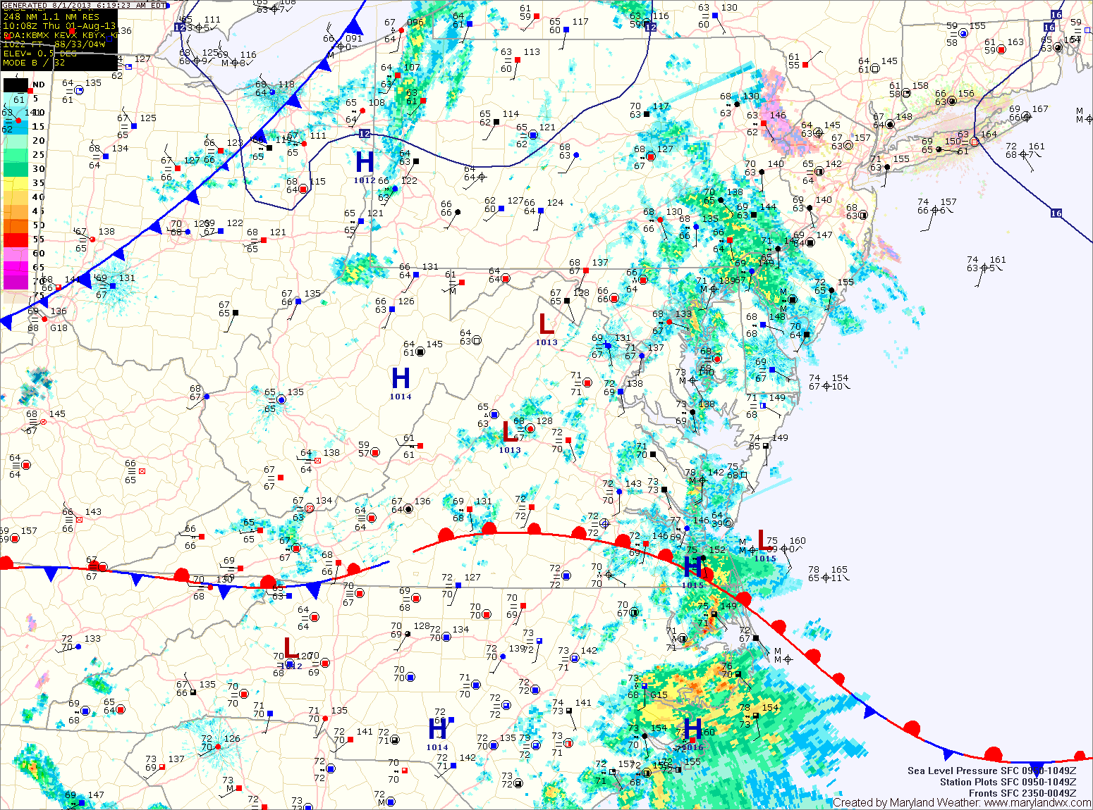
The cold front will move into the region this afternoon, spreading another round of showers and thunderstorms into the area. Some of the storms could produce locally heavy rainfall and gusty winds. Highs today will be in the low to mid 80s.
The front pushes through this evening, bringing an end to the rainfall.
High pressure will build in behind the front, leading to a dry and sunny Friday. Highs will be in the mid to upper 80s.
The timing of the next frontal boundary has moved up and will now affect the area late Saturday into Saturday night. Expect scattered showers and thunderstorms Saturday afternoon and into Saturday night. Highs will be in the mid 80s.
The front pushes through Sunday morning bringing in another round of cooler and drier air. Highs on Sunday will be in the low 80s and will be around 80 degrees Monday.
More showers and thunderstorms are possible Tuesday into Wednesday as another system affects the area.
Yesterday’s Weather Station Stats:
High Temp: 82.5°
Low Temp: 62.7°
Rain: 0.00″