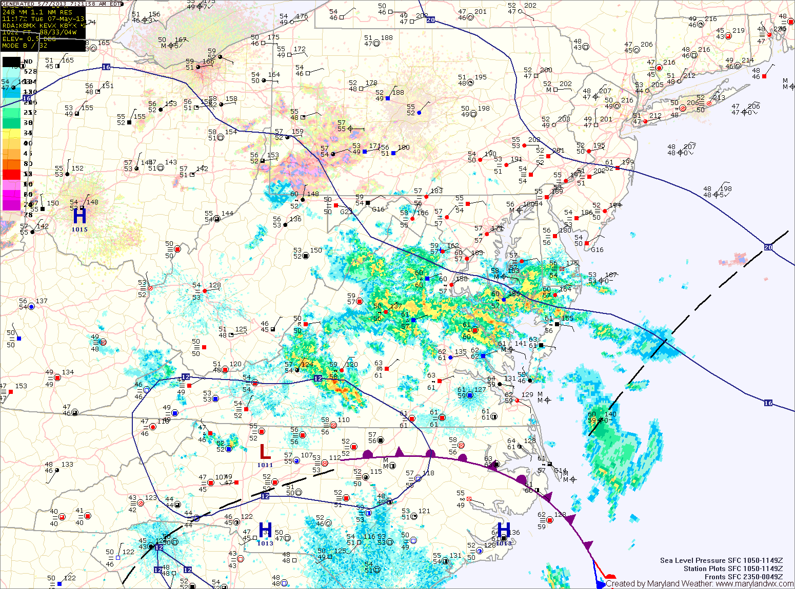
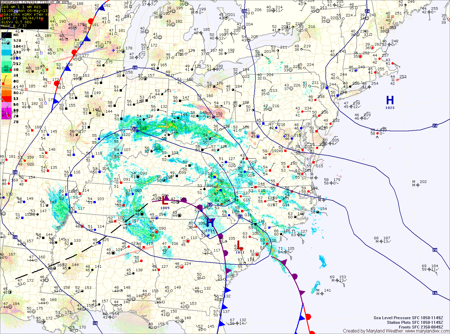
Unsettled Weather Returns

Current Surface Map
Current Surface Map
After a frosty start, temperatures today will warm into the 60s under partly sunny skies.

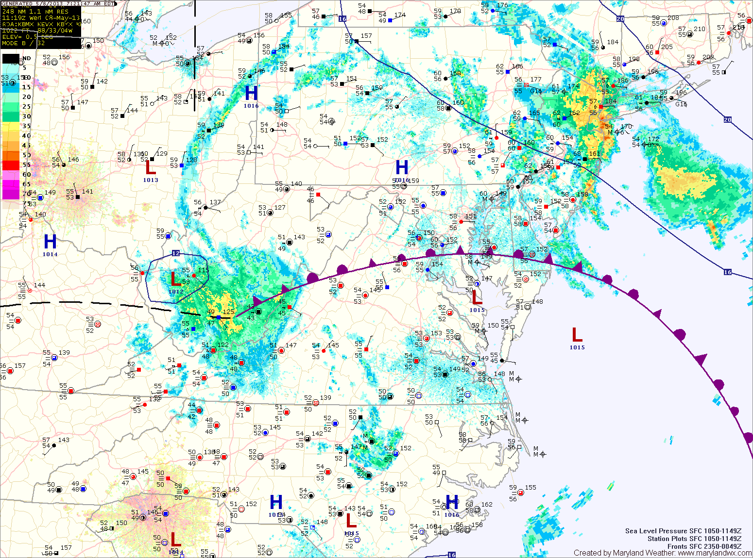
A warm front will push through the area tonight and will stall out. This front will be the focus for an unsettled stretch of weather, featuring showers and thunderstorms.

Tomorrow will see a a slight chance of showers and thunderstorms. Highs will be in the mid 70s under partly sunny skies.

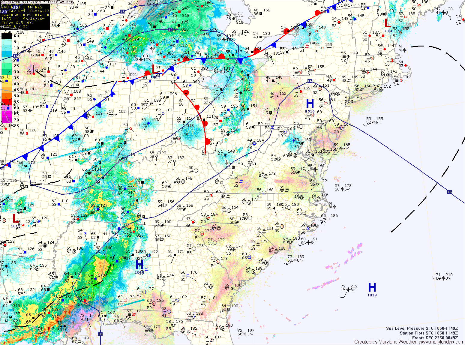
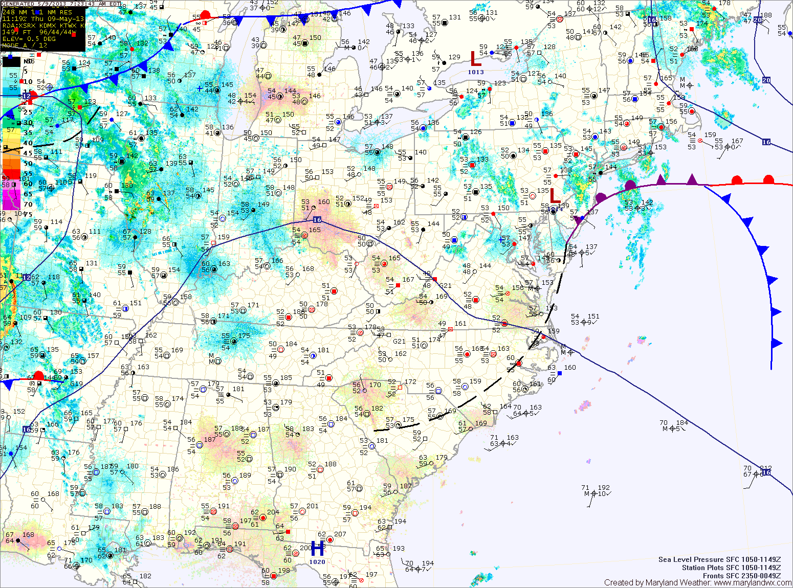
There is a slightly better chance of showers and storms on Thursday, with scattered showers and storms possible again Friday. Highs both days will be around 80 degrees.

Warm & Humid; Afternoon Thunderstorms

Current Surface Map
Current Surface Map
High pressure will bring warm and humid conditions to the area as it builds in and then off the coast. Meanwhile, a cold front will approach from the west.

The combination of the two will kick off scattered showers and thunderstorms this afternoon and evening. Some of the storms may become severe with damaging winds, heavy rainfall and large hail, especially across western Maryland. Highs today will be in the low to mid 80s.

Thunderstorm activity will diminish tonight with the loss of daylight, but showers will remain possible through the overnight.

Morning Fog; Afternoon Thunderstorms

Current Surface Map
Current Surface Map
Dense fog will continue to lift this morning, leaving cloudy conditions. As we warm this afternoon, scattered showers and thunderstorms will develop again. Some of the storms could produce locally heavy rainfall. Highs today will push into the mid to upper 70s.

High pressure builds in tonight and into tomorrow, before the next weather maker begins to affect us tomorrow afternoon. A cold front to the west will provide forcing to help shower and thunderstorm development during the afternoon and evening. Some of the storms could become strong to severe with gusty winds and hail. Highs tomorrow will push into the 80s.

The shower and storm threat will continue Friday night and Saturday as the front continues to march into the area. The storms Saturday afternoon and evening could once again turn severe. Highs will be in the mid to upper 70s.

Showers Redevelop this Afternoon

Current Surface Map
Current Surface Map
An area of low pressure remains to our south as it slowly moves northeastward. Expect showers and possibly thunderstorms to redevelop as we move into the afternoon hours. The showers and storms will continue into tonight. Highs today will be in the upper 60s to low 70s.

The low will continue to move to the northeast, and slowly pull away from the area tomorrow. Shower chances will decrease through the day tomorrow, but isolated showers will be possible through the afternoon and evening. Highs will be in low to mid 70s.

As we get rid of one system, another will approach from the west in the form of a cold front. With warm and humid air in place, pop up showers and thunderstorms are possible Friday afternoon. Highs on Friday will be near 80 degrees.

Showers into Thursday

Current Surface Map
Current Surface Map
Low pressure currently to our south will continue to move our way today and tomorrow. As it does, showers and possibly a thunderstorm will continue to build into the state. Highs today will be in the low to mid 60s.

Showers will remain likely tonight and tomorrow as the low moves over the area. Highs tomorrow will be in the mid to upper 60s.

The low will move north of the us Wednesday night and Thursday, taking the rainfall with it. Scattered showers will still be possible, tapering off on Thursday. Highs will be in the low 70s.

An Unsettled Weather Week Ahead

Current Surface Map
Current Surface Map
High pressure that controlled the weather over the past five days is now moving away from the area as a broad area of low pressure moves in from the south west. The low will spread showers and possibly thunderstorms into the region over the next several days.

Today should remain mainly dry, with showers possible by evening. Highs today will be in the mid 60s.

As the low continues to move closer, rain chances will increase. Showers will become more numerous tonight, and are likely tomorrow. High temperatures will be in the mid 60s.

The low will be moving through on Wednesday and showers and possibly thunderstorms are likely as it does. Highs will be in the upper 60s to near 70.

Gorgeous Weekend on Tap

Current Surface Map
Current Surface Map
Our stretch of dry and warm weather will continue today with ample sunshine and highs in the upper 60s.

High pressure will remain parked over the region through the weekend keeping us dry and warm.

Tomorrow will be nearly a carbon copy of today with perhaps a bit more in the way of cloud cover. Highs will be in the mid to upper 60s.

Sunday will continue the string, with mostly sunny skies and a high near 70.

Changes are in store as we move into the work week, with an area of low pressure that has been blocked to our west slowly moving towards the region. Clouds will increase on Monday with shower chances increasing as we move into Monday night.

Becoming Sunny Today

Early morning clouds will give way to sunshine this afternoon. Highs today will reach 70 degrees. Tomorrow will be very similar to today, with highs in the upper 60s to…

Sunny Today; Dry and Pleasant into the Weekend

Current Surface Map
Current Surface Map
High pressure to our northeast has shifted our winds to a more northeasterly direction. This has cut off the easterly flow that had been bringing clouds and drizzle to the area.

Expect sunny skies today with highs around 70 degrees.

The high will remain to our north while slowly moving towards our area tomorrow and Friday.

Expect mostly sunny skies with highs in the upper 60s to low 70s both days.

The high will continue to control the weather through the weekend and into next week. Saturday and Sunday will be partly to mostly sunny with highs in the low 70s.