Partly Sunny Today

Current Surface Map
Current Surface Map
High pressure off the coast will keep a moist, easterly flow over the region. This will maintain cloud cover and cap high temperatures in the upper 60s to around 70.

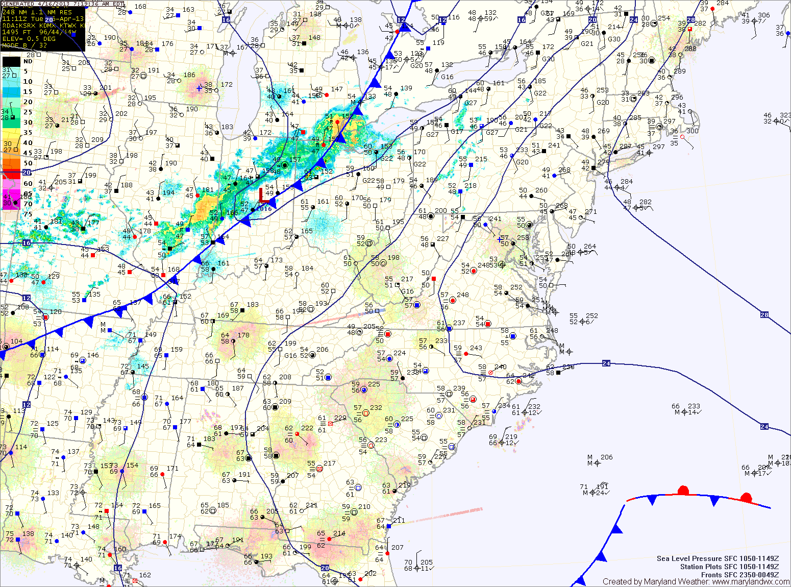
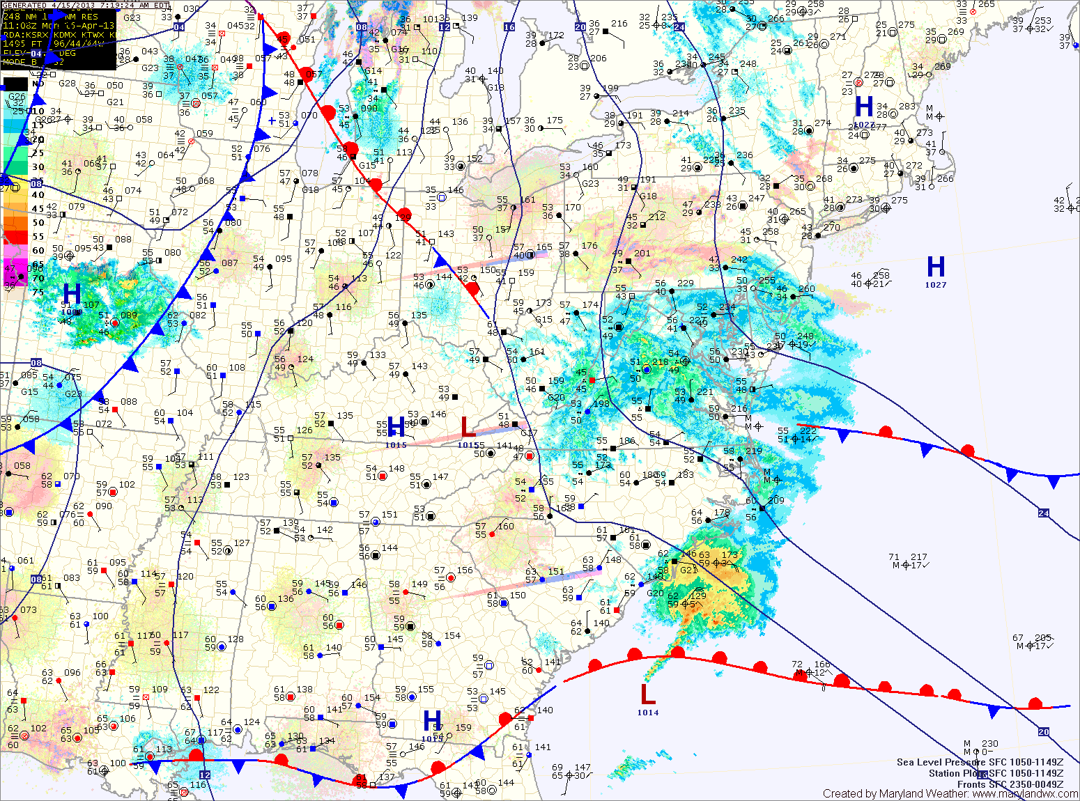
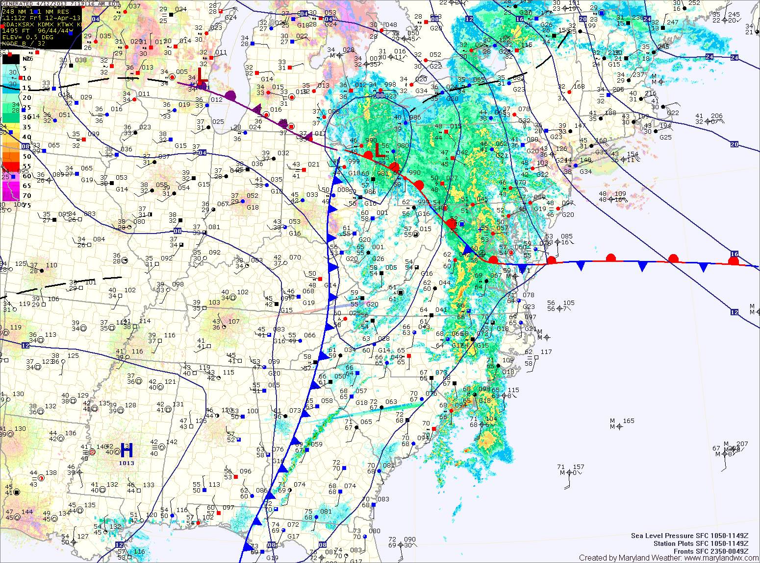
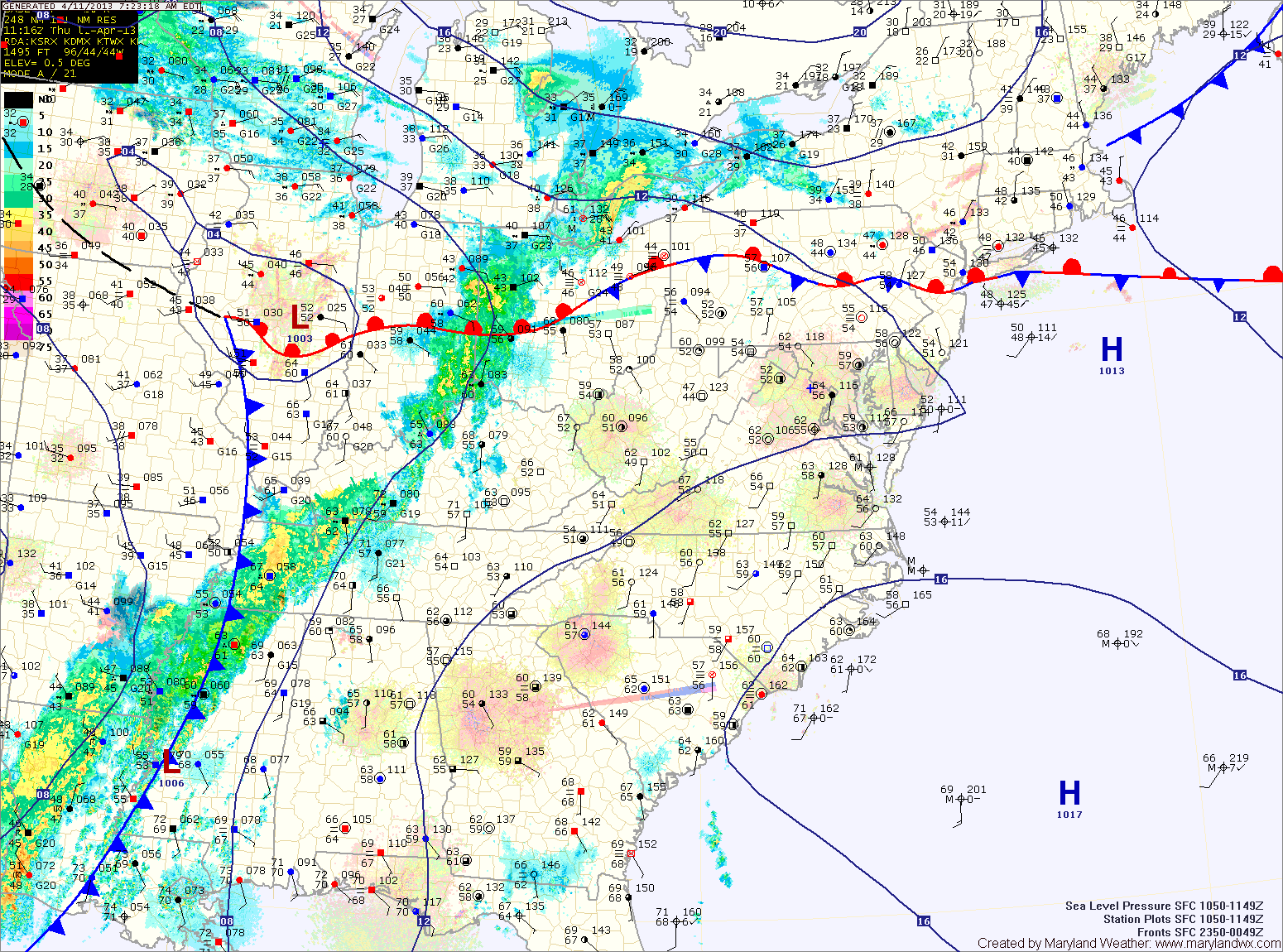
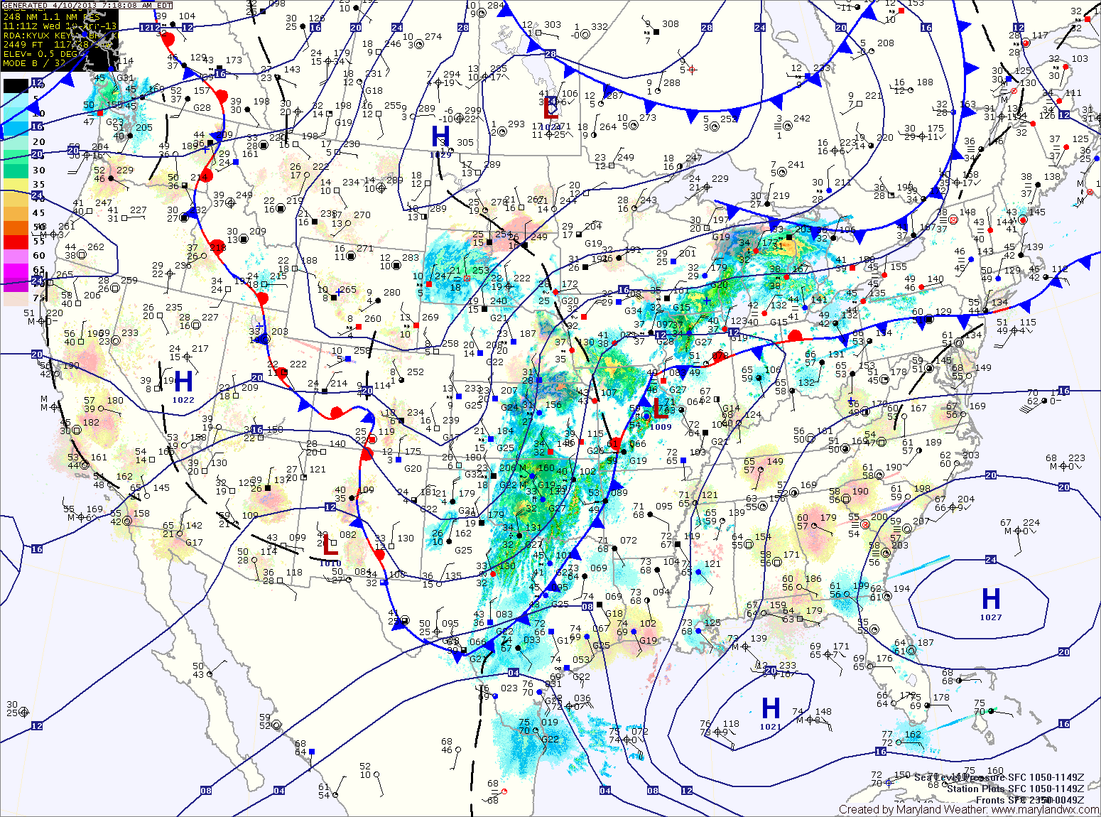
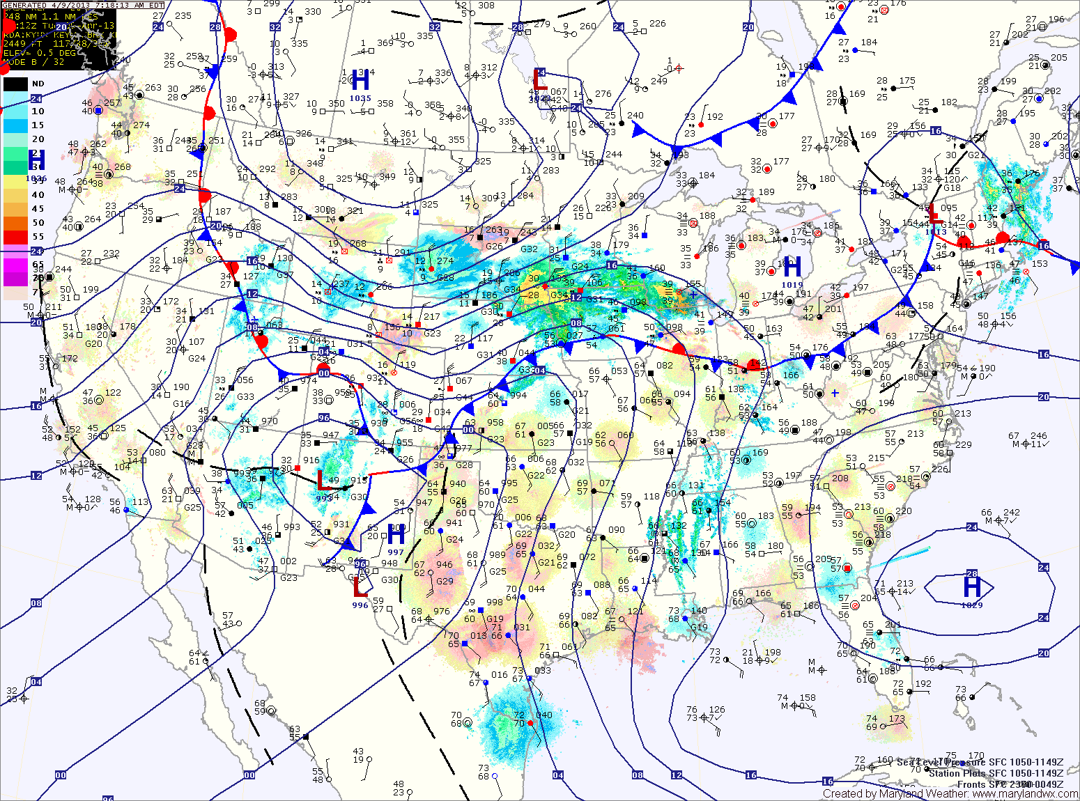
A weak cold front will sag south into the area tonight and persist through tomorrow. North of the front it will be in the mid 60s with moist, easterly flow, while south of the front, temperatures will push into the 70s. Areas near the front will also experience scattered showers and thunderstorms.

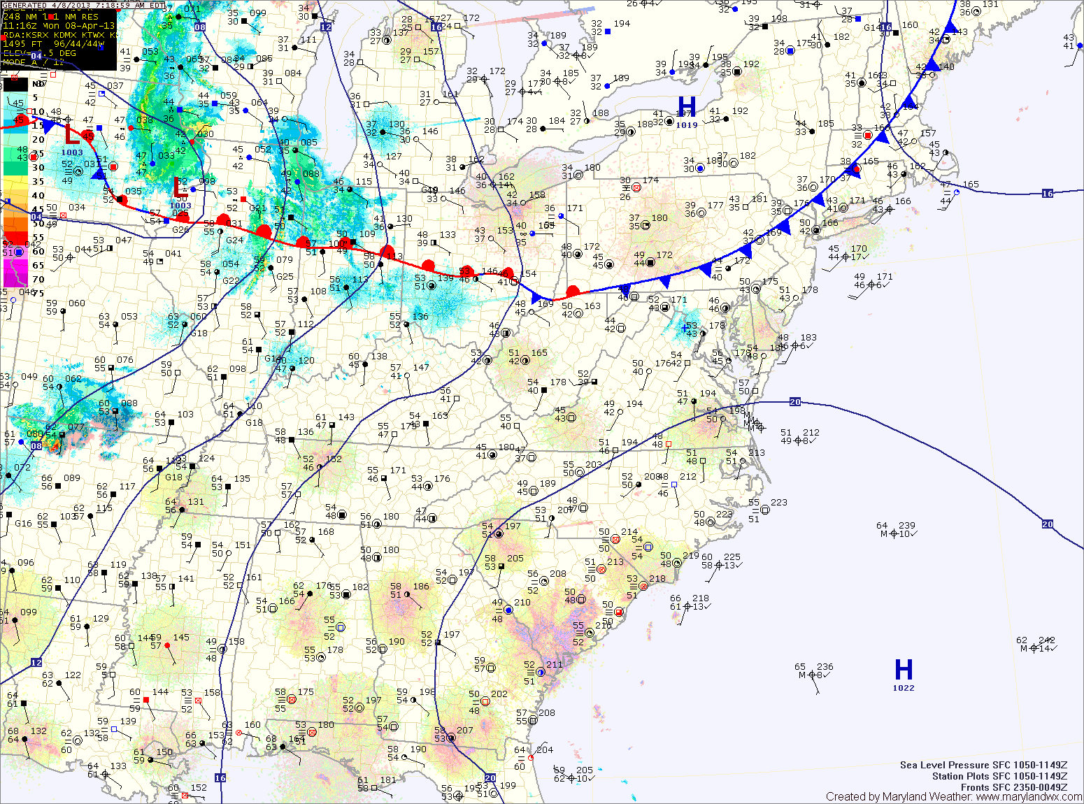
As of right now, it appears the front will slice across central Maryland, allowing southern Maryland to warm, while northern parts stay cooler. There is a slight chance of drizzle or light rain Wednesday night across the entire state as easterly flow persists.

Drizzle This Morning; Cold Front Tomorrow Night

Current Surface Map
Current Surface Map
An upper level low is bringing light rain and drizzle to the state this morning. The rain will move through and rain chances will decrease as we move into the afternoon. Highs today will be in the low 60s.

A cold front will drop southward and towards the area tomorrow, keeping clouds in the area. Despite the clouds, temperatures should climb into the low 70s for highs.

Scattered showers are possible tomorrow night as the front pushes into the area. The front is expected to stall out across the state Wednesday and Thursday. North of the front it will be cooler, while south it will be warmer. Highs Wednesday and Thursday will be dependent upon where the front stalls but will generally be in the 60s and 70s.

Cold Front Moving Through; Nice Weekend on Tap

Current Surface Map
Current Surface Map
A cold front to our west is currently pushing locally heavy rain and embedded thunderstorms through the area.

The front will clear the area this afternoon, bringing an end to all rain chances and allowing skies to begin to clear. Highs will be in the low 70s.

High pressure builds in for the weekend. It will be be breezy tomorrow, under mostly sunny skies. Highs will be in the mid 60s.

Sunday will be much like Saturday, with less wind. Expect mostly sunny skies with highs in the low to mid 60s.

Increasing Clouds Today; Rain Tonight and Tomorrow

Current Surface Map
Current Surface Map
Clouds will increase today as a cold front approaches from the west. Highs will be in the mid to upper 70s.

The front will push Gulf moisture into the region tonight, with showers and possibly a thunderstorm developing after midnight.

Rain and thunderstorms will continue tomorrow, possibly heavy at times especially in the morning. Flash flooding will be possible in the heavier showers.

The rain will taper off during the afternoon hours. Highs will be in the mid 70s.

Mostly Sunny and Hot; Isolated Afternoon Storms

Current Surface Map
Current Surface Map
Today will be more like July 10th instead of April. It will be mostly sunny and hot, with highs around 90 degrees. Additionally, isolated afternoon showers and thunderstorms are possible. Some of the storms could produce gusty winds.

Tomorrow will feature increasing clouds, with a high in the low 80s.

A cold front will make it’s way into the region tomorrow night. Showers and thunderstorms are likely tomorrow night, as the front approaches the state.

Rain activity will continue Friday morning, possibly heavy at times before tapering off during the afternoon as the front finally pushes through the area. Highs on Friday will be in the mid 70s.

Partly Sunny and Continued Warmth

Current Surface Map
Current Surface Map
With high pressure remaining off the southeast coast, our stretch of very warm weather will continue today. Highs will be in the low 80s under partly sunny skies. There is a very slight chance of a pop up afternoon shower.

Tomorrow will be even warmer, with highs hitting the mid to upper 80s under mostly sunny skies.

Thursday will start out sunny but clouds will increase during the day with showers and thunderstorms moving in by late afternoon as a cold front approaches from the west.

Showers and thunderstorms are likely Thursday evening and during the overnight. Highs Thursday will reach the 80s.

Warm Through Thursday

Current Surface Map
Current Surface Map
Clockwise flow around a high pressure off the southeast coast will bring the first big warm up of the year while keeping rain chances to a minimum through mid week.

Today will be partly sunny, with highs in the mid 70s.

Tomorrow will be even warmer, with a slight chance of a pop up shower or thunderstorm.

Otherwise, expect mostly sunny skies with highs will be around 80 degrees.

Wednesday will be mostly sunny, with highs in the low 80s.

Continued Windy; Red Flag Warning in Effect

Current Surface Map
Current Surface Map
As cold Canadian high pressure moves into the region, winds will continue to gust to near 30mph. These winds, combined with very low humidity values will help spread any uncontrolled fires. Highs today will only reach the upper 40s to low 50s.

High pressure moves overhead tomorrow, calming winds and continuing the sunshine. The high will move off the coast during the afternoon and high clouds will begin moving in, ahead of low pressure to the south. Highs will be in the low to mid 50s.

Low pressure will move along the southeast coast then up and off the Carolina coast. Rain will move in overnight Thursday and continue through Friday morning. As the low moves away Friday afternoon, the rain will taper off and end during the late afternoon. Highs Friday will be in the mid to upper 50s.

Mostly Sunny, Windy and Colder

Current Surface Map
Current Surface Map
Canadian high pressure is moving into the region today, bringing with it much colder air and windy conditions. Otherwise, it will be mostly sunny with a high in the upper 40s to low 50s.

Tomorrow will be similar to today, mostly sunny, windy and cold. Highs around 50 will feel much colder with wind gusts to near 30mph.

Thursday will feature increasing clouds ahead of the next storm system to affect the area. Highs will rebound into the mid 50s with lighter winds.