
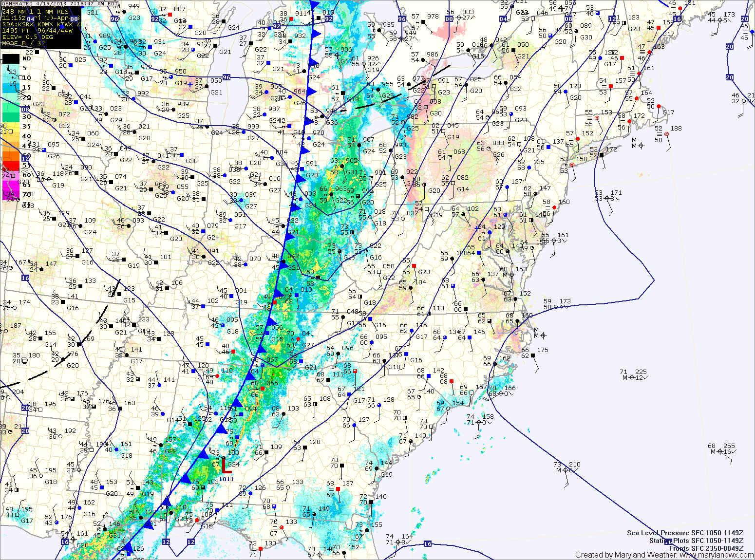
Ahead of the front, it will be warm and windy with southwest winds gusting to near 35mph. Highs today will push into the upper 70s to low 80s.
Showers and storms will move in from west to east during the late afternoon and evening, bringing locally heavy rainfall and strong, gusty winds. Flash flooding will be possible this afternoon and evening.
The showers and storms will continue into tonight. Drier air will begin working into the region during the overnight hours, bringing an end to the rain.
Cool Canadian high pressure will control the weather this weekend. Highs Saturday and Sunday will be in the upper 50s to low 60s under mostly sunny skies.
Easterly flow will develop as we head into next week. This will bring another round of cloudy, cooler and damp conditions for the first part of the week.
A cold front will approach midweek bringing another round of rainfall Wednesday or Thursday.
Yesterday’s Weather Station Stats:
High Temp: 74.2°
Low Temp: 57.5°
Rain: 0.10″