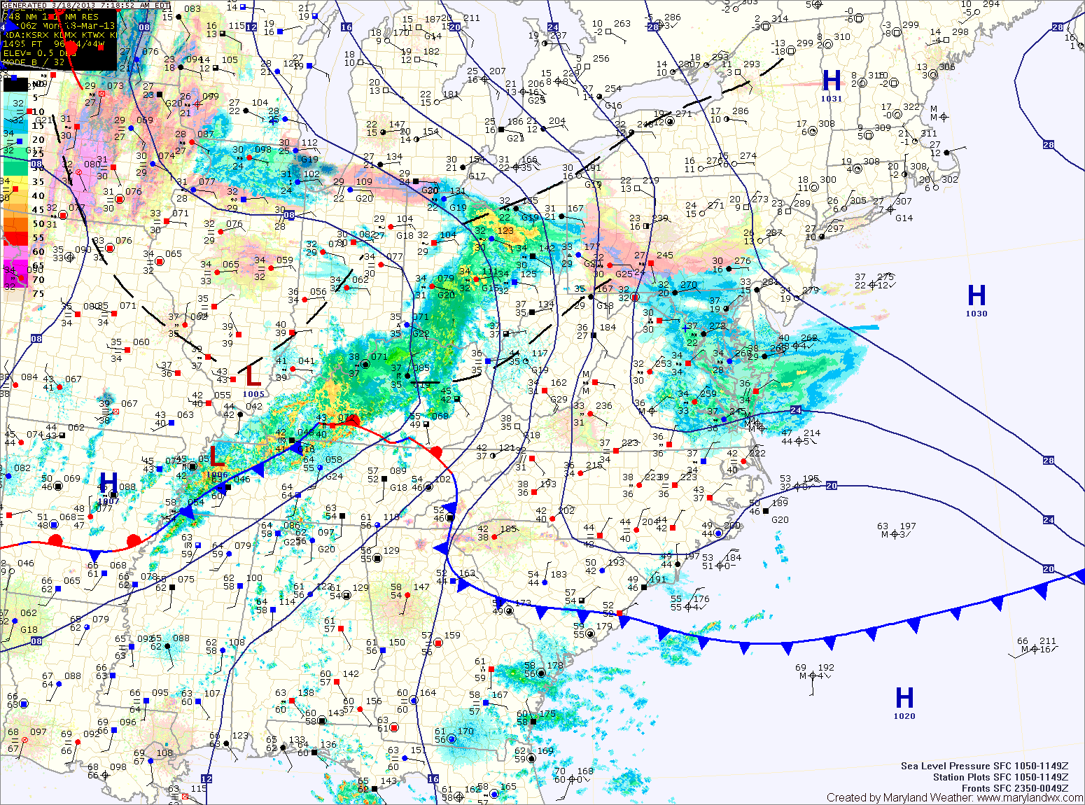
Current Surface MapLight rain/snow/sleet is moving across the area this morning. The mix will continue into the afternoon before changing to rain in most places.
The exception is far western Maryland, where a Winter Storm Warning is in effect for several inches of snow. Further east, accumulations are not expected. Highs today will top out in the mid to upper 30s.
The cold front will pass through tonight, bringing an end to the precipitation. Tomorrow will feature decreasing clouds and gusty winds. Highs will be in the low 50s.
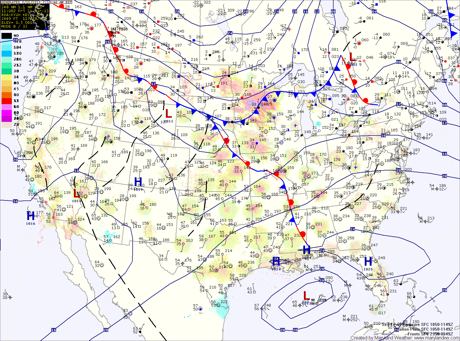
Current Surface MapToday will feature increasing clouds ahead of a weather system that will affect the area tonight into tomorrow. Highs today will be in the mid 50s.
Rain will develop tonight and last through most of tomorrow. The rain may start as snow or sleet across western Maryland with minor accumulation. Highs tomorrow will be in the mid to upper 40s.
A brief break on Sunday morning before the next storm system affects the area Sunday evening through Tuesday. Highs Sunday will be in the low to mid 40s.
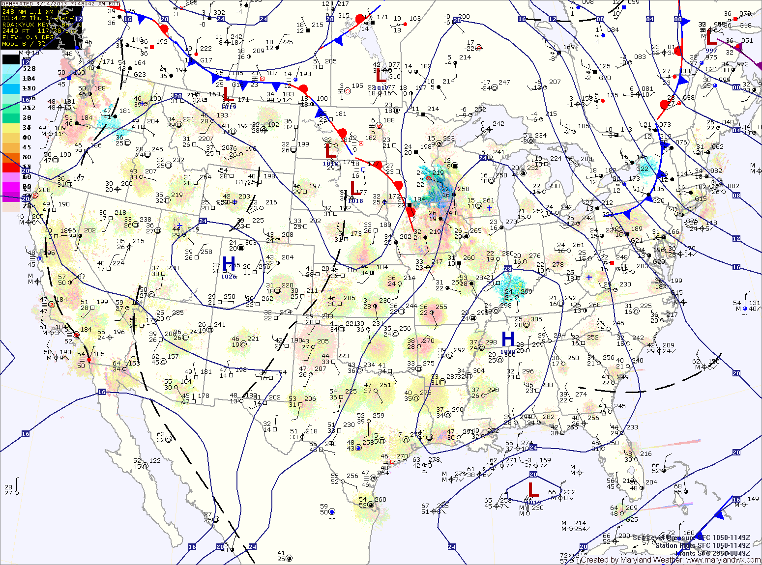
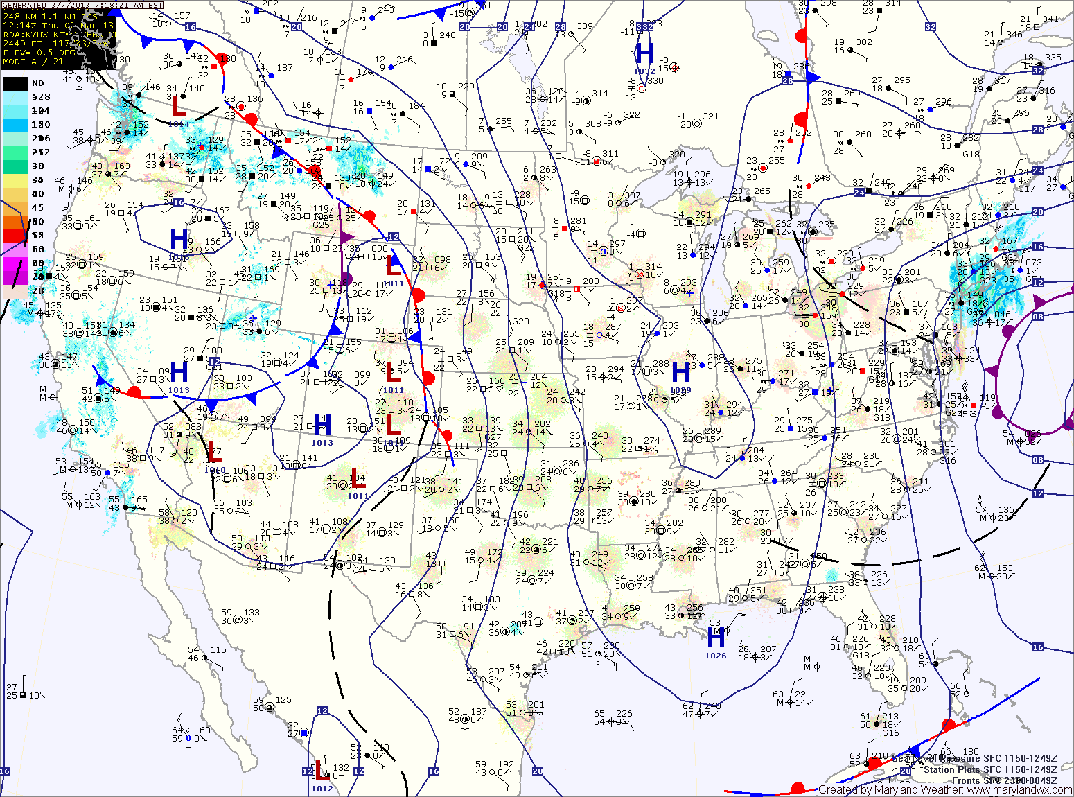
Current Surface MapToday will be partly sunny, cool and windy. Wind gusts to around 35mph are possible this afternoon. Highs will be in the low to mid 40s.
Tomorrow will start out mostly sunny with clouds increasing towards evening. It will be about 10 degres warmer today with highs in the mid 50s.
A fast moving area of low pressure and associated cold front will spread rain into the area late Friday night into Saturday morning. The rain will continue Saturday morning before gradually ending during the afternoon. Highs on Saturday will be in the low to mid 50s.
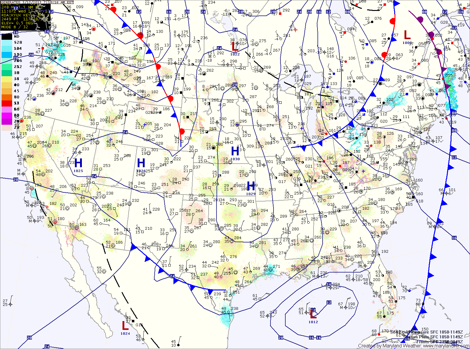
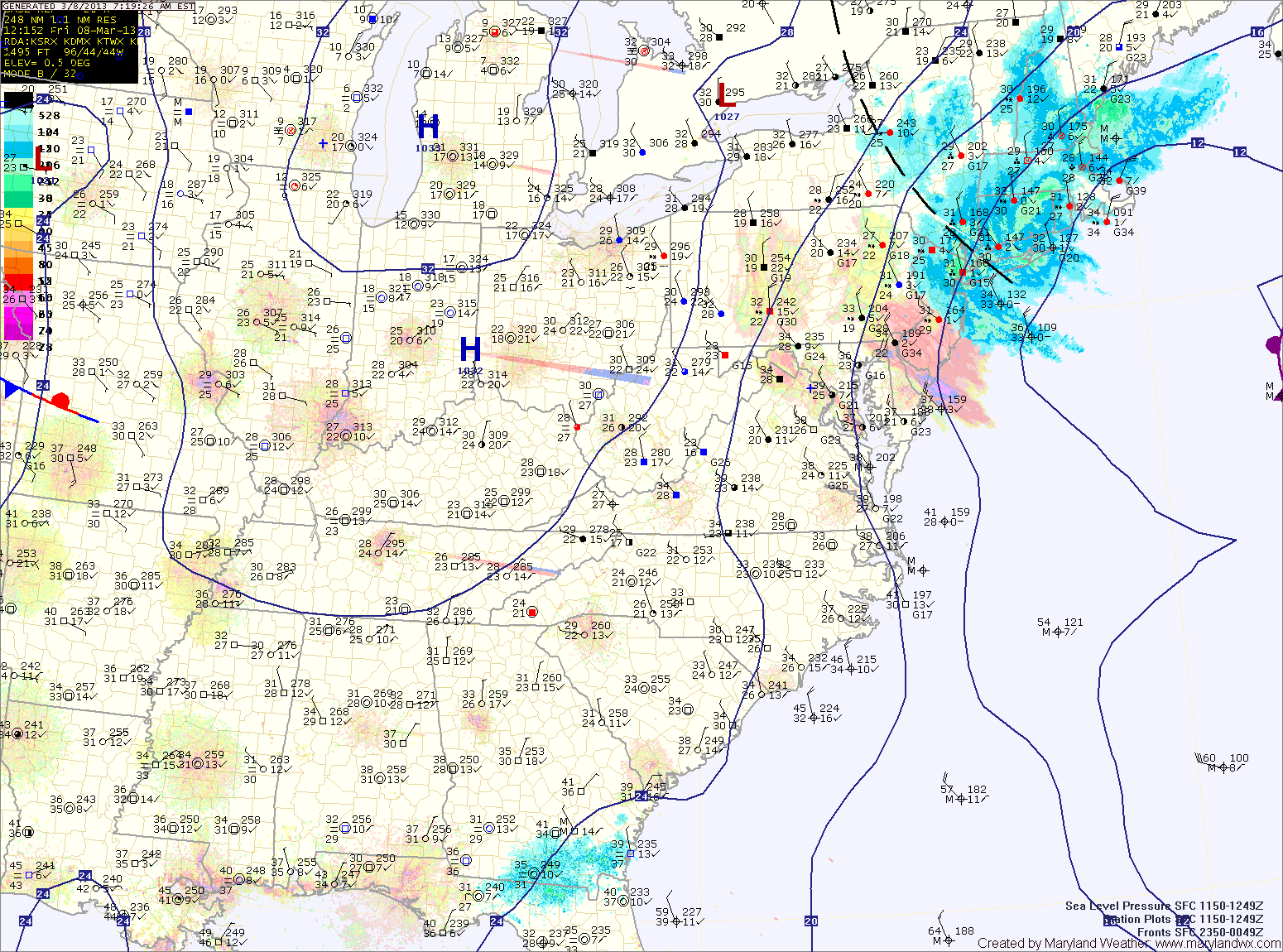
Current Surface MapA trough of low pressure will swing through the region today, bringing with it a slight chance of showers this afternoon. Highs will be around 50 degrees.
In it’s wake, high pressure builds in with mostly sunny skies tomorrow. Highs will be in the low to mid 40s.
Clouds will increase through the day on Friday as a fast moving clipper system approaches. Highs will be in the low 50s.
As the clipper passes through, showers are likely late Friday night and Saturday. Highs on Saturday will be in the low 50s.
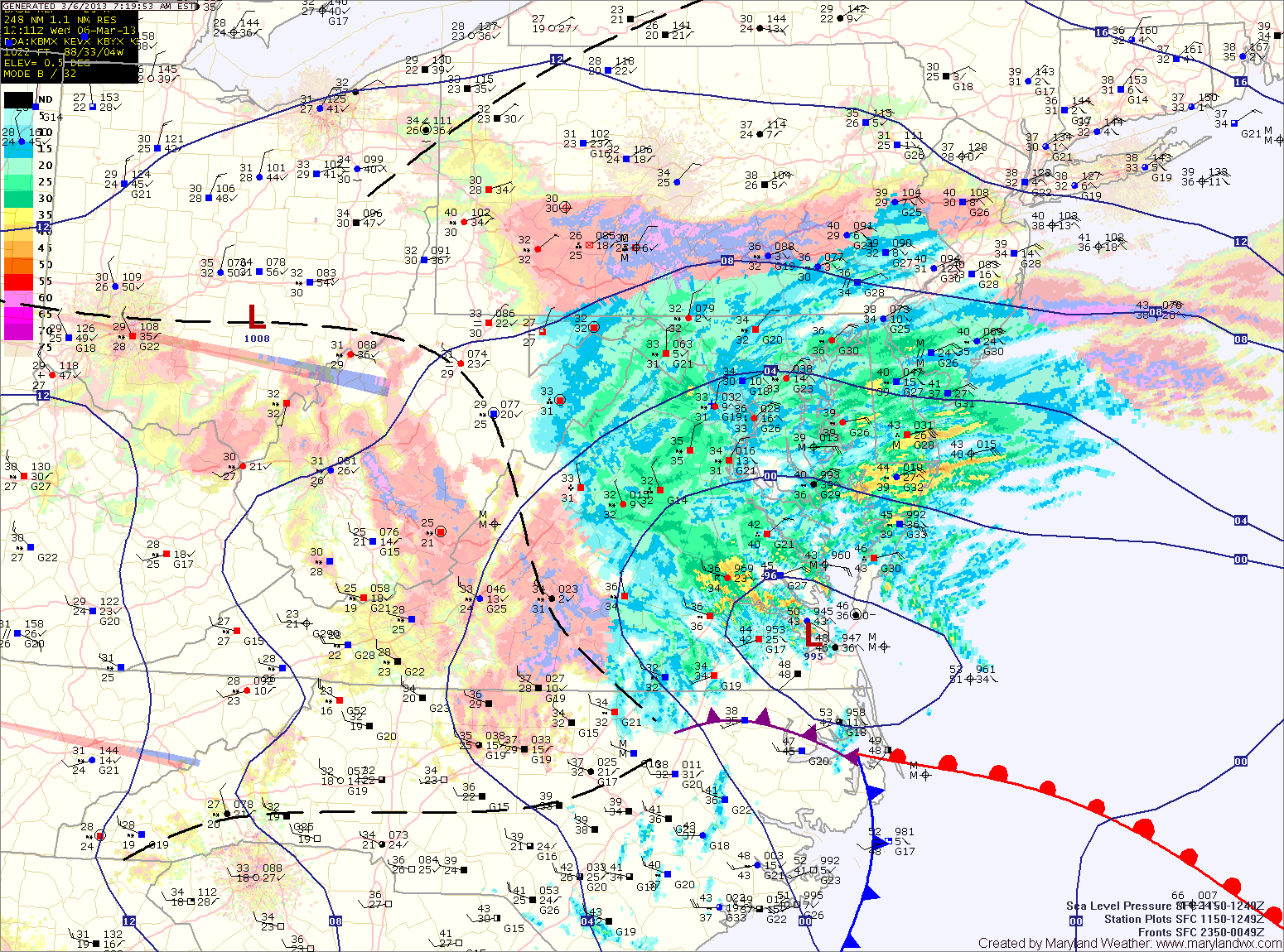
Current Surface MapClouds will increase today, ahead of a storm system that will bring a cold front through the area tonight and tomorrow.
Highs today will be near 60 degrees.
Showers will move into the area tonight and last into tomorrow afternoon as the front crosses the region. Highs tomorrow will be held down a bit due to the rain, topping out in the mid to upper 50s.
A secondary front will cross on Wednesday, bringing a slight chance of a shower and breezy conditions. Highs on Wednesday will be in the low 50s.
Current Surface MapScattered flurries or snow showers will be possible this morning before skies turn partly sunny by afternoon. Highs will be in the upper 40s.
High pressure moves overhead tomorrow, allowing for sunny skies and high temperatures into the low 50s.
The high slides off the coast on Sunday as another area of low pressure spreads clouds into the area on Sunday.
The National Weather Service has just thrown in the towel for us here in central Maryland. All warnings/advisories dropped for S. Baltimore, Baltimore City, Anne Arundel, Calvert and St. Mary's…
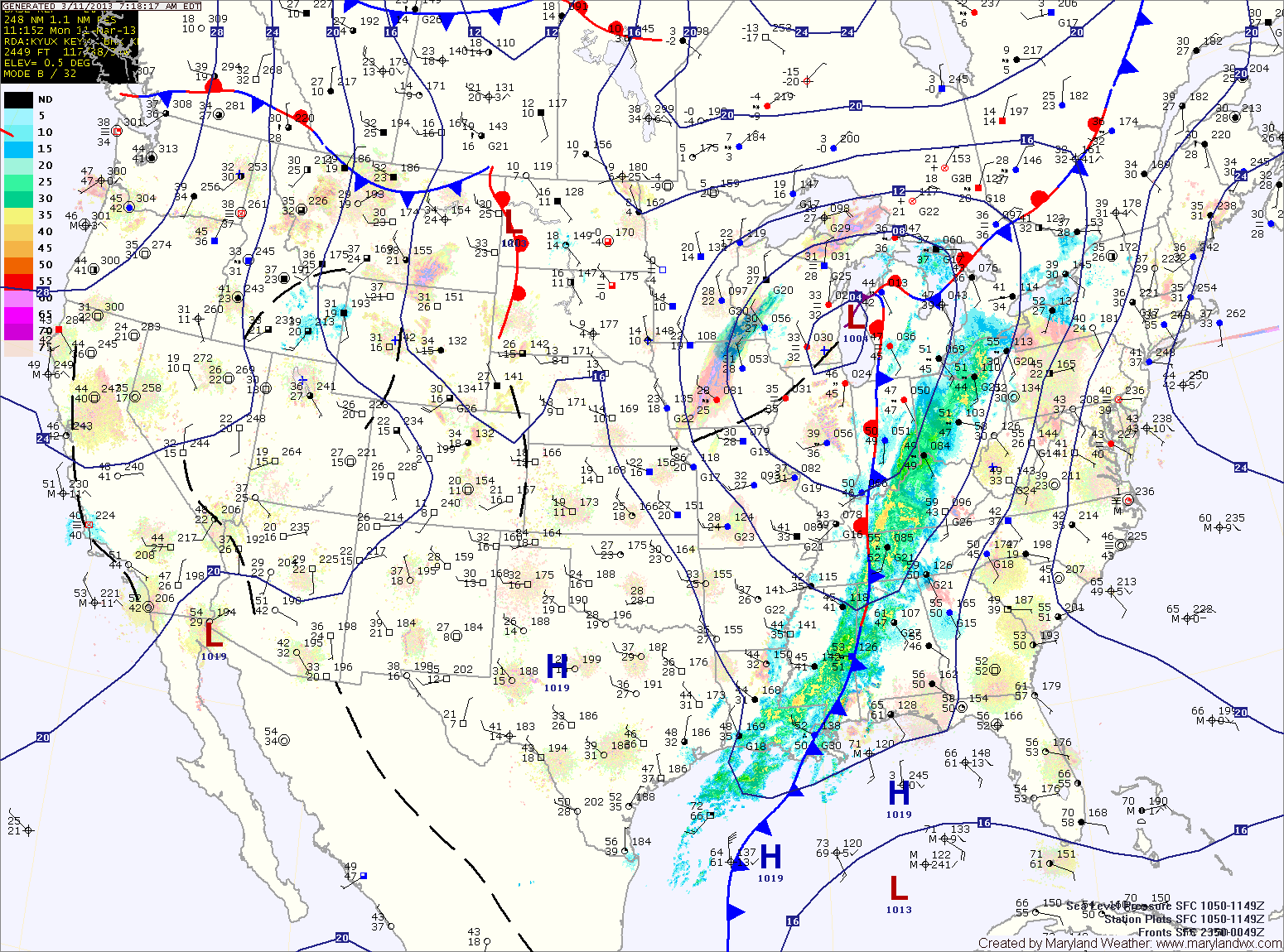
Current Surface MapA Winter Storm Warning is in effect for all counties west of the Bay. A Winter Weather Advisory is in effect for the Eastern Shore. Yesterday’s forecast remains on track.
Projected Snow Totals by County:
12+”: Garrett
8-12″: Allegany, Washington
6-10″: Frederick, Carroll, Montgomery, Howard, N. Baltimore
4-8″: Anne Arundel, S. Baltimore, Baltimore City, Cecil, Harford, Kent, Prince Georges (the higher amounts further from the Bay)
2-4″: Calvert, Charles, Queen Annes, Talbot
1-3″: Caroline, Dorchester, St. Marys, Wicomico
Trace-1″: Somerset, Worcester
Currently, the area of low pressure is situated near the Tidewater of Virginia. As the low moves slowly eastward today, it will strengthen and winds in our area will shift from easterly to more northerly and colder air will be drawn in. As this happens, the rain and rain/snow mix will turn over to snow and become heavy at times as we move through the afternoon and into tonight.