Scattered showers and storms this afternoon and evening
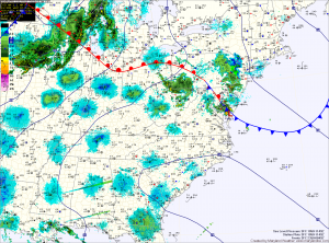
It appears that there will be enough instability for some of these storms to become severe, with damaging winds and hail.
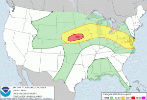

It appears that there will be enough instability for some of these storms to become severe, with damaging winds and hail.

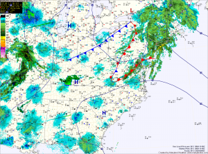
High pressure off the coast will pump warm and humid air into the region tomorrow, setting the stage for more scattered showers and thunderstorms. Highs will be in the mid 70s.
A backdoor cold front will approach Wednesday night and Thursday. This will enhance an easterly flow and cause areas along the Bay to cool. Highs Thursday will be near 70 along and east of the Bay and will rise into the 80s west of I-95. Showers and thunderstorms will be possible again Thursday afternoon.