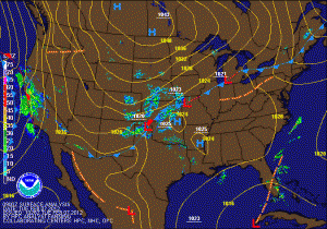
Current thinking is that the areas that stay all snow will see an inch or two of accumulation before the low clears the area tomorrow night. Elsewhere, expect snow to mix with or change to rain during the afternoon tomorrow, then change back to snow before ending tomorrow night. A half inch of snow, mainly on grassy surfaces is possible.
After the storm moves through, high pressure takes control for the end of the work week. A cold front looks to move through the area on Friday night, bringing colder air into the region over the weekend. Highs this weekend will be below average, topping out in the upper 30s to around 40.
A long waited pattern change appears to be taking place, as a ridge looks to build along the west coast, causing a trough to develop over the eastern US. This will allow colder Canadian air that has for the most part been bottled up, to spill down into the region. Temperatures next week look to remain at or below normal.
