
I was out of town last week and have been busy with Christmas festivities since my return, so I have not been able to look at the models too closely.
I did check in with the NWS while I was away and it appears that this possible storm has been very hard to pin down. Even today, there is great uncertainty regarding the track of this system.
What is known:
A low pressure system will develop off the Carolina coast and move NE tomorrow into tomorrow night.
What is unknown:
The exact track of the system. One scenario has it moving up the coast, just off shore while the other scenario has the track further off the coast, resulting in little to no snow.
The models began showing this system a week ago, but have flip flopped and shown no consensus on the track. Generally, we see the models begin to converge on a track a few days out. What we saw this week instead, was each sticking to their different ideas, and not until Friday did we see a trend towards an off the coast solution.
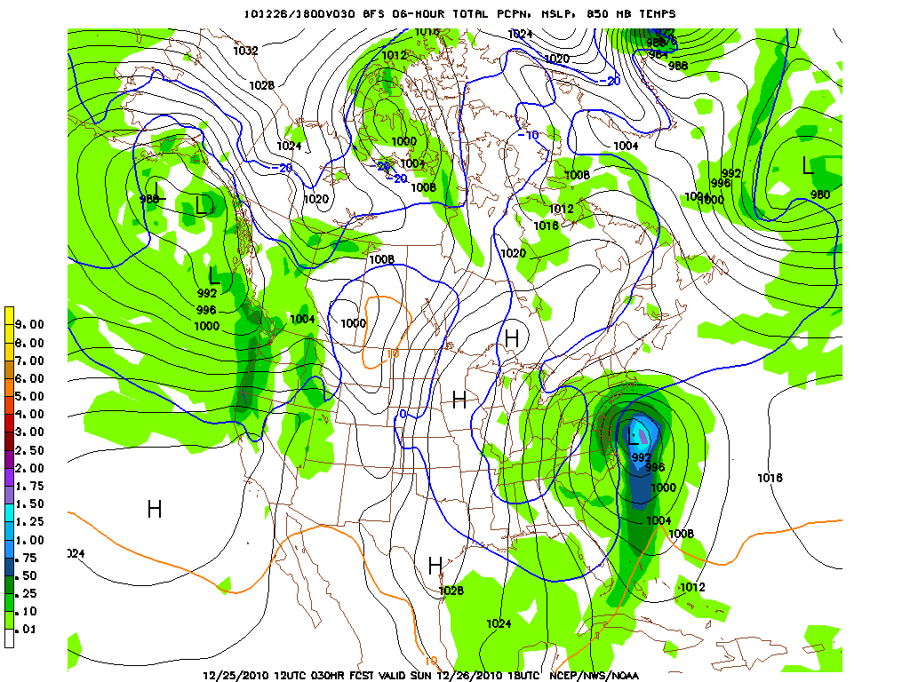
…and then last night’s models came in…
Beginning yesterday, a subtle shift back towards the west occurred and then last night a more substantial shift occurred, raising our chances for accumulating snow. Today’s GFS model continues the trend:
It is still possible that the storm tracks off the coast, but the National Weather Service is confident enough to issue Winter Storm Watches for the area with accumulations greater than 5 inches possible.
This forecast is very tricky, and will definitely change before tomorrow. Stay tuned to the NWS and local news outlets for the latest information on this possible storm, affecting our area tomorrow afternoon into Monday morning.