Sandy to Make Landfall This Evening
11:00am Update – Hurricane Sandy Strengthens Again
Sandy Now Heading Towards the Coast
Sandy Taking Aim on the Delmarva
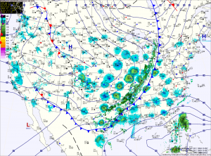
Hurricane Sandy continues to be the focus of attention as we head into the weekend. Consensus is building that the storm will combine with the cold front to our west to have a significant impact on our area.
*The Setup*
The high pressure to our northeast will block and even steer Sandy towards the coast early next week. Meanwhile, Sandy continues to slow and grow in size. This is important to remember when looking at the path outlined by the National Hurricane Center. Sandy will likely be a very large in size and will bring significant impacts to a very large portion of the east coast regardless of the exact path.
Sandy is currently over the northern Bahamas and moving northwestward. Maximum sustained winds are now 80mph. This general motion and strength are expected to continue today before Sandy makes a gradual turn back towards the northeast tomorrow. This is due to the front to our west that will eventually absorb the system. 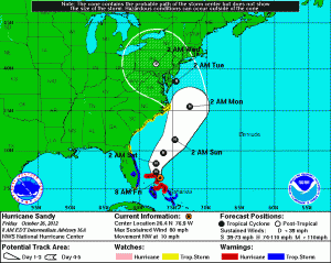
Partial Clearing This Morning; Afternoon Storms
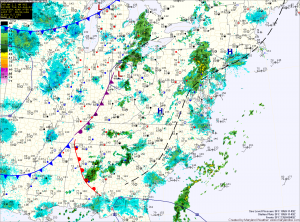
The current light rain and drizzle that is moving through the area will clear in the next few hours. This will allow partial clearing to occur, helping to destabilize the atmosphere. Thunderstorms will develop this afternoon over the mountains and move eastward into the evening.
Depending on how much clearing occurs, some of these storms could become severe with damaging winds, large hail and even an isolated tornado. Highs today will be in the mid 80s.
The cold front moves through tomorrow, bringing another round of showers and thunderstorms during the day. Highs will again be in the mid 80s.
Mostly Sunny Today, Severe Storms Possible Tomorrow
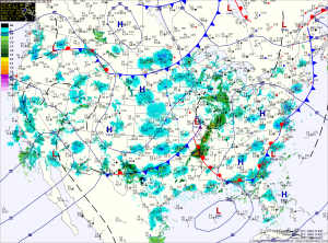
An area of low pressure will approach tomorrow and bring a cold front through the area on Wednesday. This will provide a focus for thunderstorm development tomorrow. Scattered thunderstorms are expected and some of these storms could become severe with damaging winds, large hail and even tornadoes. Highs will be in the upper 80s.
Mostly Sunny, Afternoon Storms
…HEAT ADVISORY REMAINS IN EFFECT FROM 11 AM THIS MORNING TO 9 PM EDT THIS EVENING…
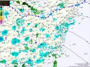
The cold front will slowly move southward, continuing rain chances tonight and tomorrow but more importantly it will drop temperatures about 10 degrees. Highs tomorrow will be around 90. Additionally, showers and thunderstorms are likely again tomorrow as the front remains in the area.
Severe weather day
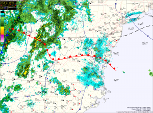
A warm front is currently working it’s way through the state, allowing moisture and warmer temperatures to stream northward. This feature, combined with a cold front approaching from the west will provide the forcing necessary for shower and thunderstorm development.
At this time, it appears enough instability and lift will be present for some of these storms to become severe and produce damaging winds, large hail, torrential rain and possibly tornadoes.
Scattered showers and storms this afternoon
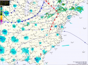
There is a slight risk that these storms could become severe with large hail and damaging winds as the primary concern. Be sure to check the radar and be aware of any possible watches and warnings that may be issued this afternoon.
The showers and storms will be pushed eastward and off the coast by later this evening as the cold front moves through.
