Summary: Cold high pressure will remain over the region today and tomorrow. A cold front will move through tomorrow evening. Low pressure will affect our area Friday and Saturday. Today…
- A Wind Chill Advisory is in effect for: Allegany, Baltimore, Carroll, Frederick, Harford, Howard, Montgomery and Washington counties With a fresh snow pack and arctic air settled over the…
A Wind Chill Advisory has been issued for: Garrett and Western Allegany counties. The cold front was a bit late to arrive and as a result, temperatures did not fall…
A Wind Chill Warning has been issued for: Garrett and Western Allegany counties. A Wind Chill Advisory has been issued for: the rest of the state. Arctic high pressure is…
A Winter Weather Advisory has been issued for: Allegany, Anne Arundel, Baltimore, Baltimore City, Carroll, Charles, Frederick, Garrett, Harford, Howard, Montgomery and Prince George's counties. A Wind Chill Advisory has…
A Winter Weather Advisory has been issued for: Garrett and Western Allegany counties. A Wind Chill Advisory has been issued for: Garrett county. A Wind Advisory has been issued for…
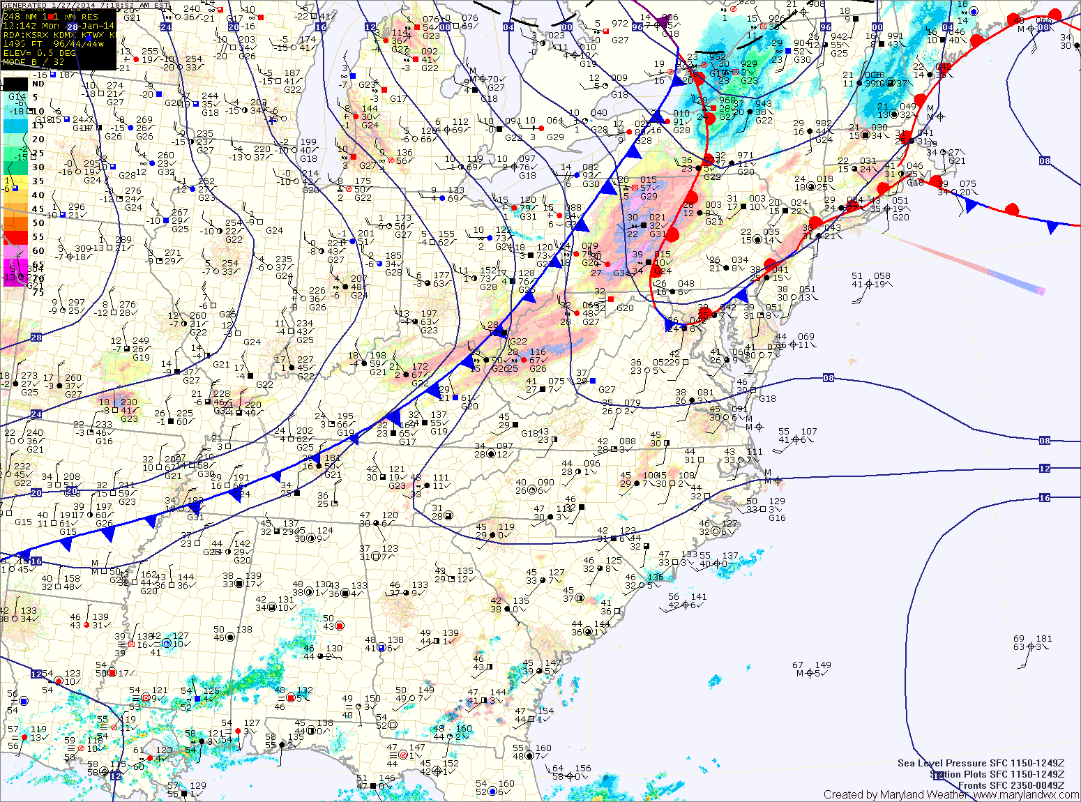
Current Surface MapToday will be generally cloudy and cold throughout the state as an area of low pressure develops over the deep south and moves towards the Carolina coast. Highs will top out around 20 degrees.
A Wind Chill Advisory is in effect through mid morning as wind chills drop to below 0 at times.
Widespread heavy snowfall is expected across most of Virginia and the Carolinas where up to a foot of snow may fall. We will be on the northern fringe of the storm here in Maryland. That said, lower southern Maryland and the lower eastern shore will likely see snow develop late this afternoon and into tonight. 1-2″ of snow is possible across St. Mary’s and Calvert counties while the eastern shore may see upwards of 4 inches.
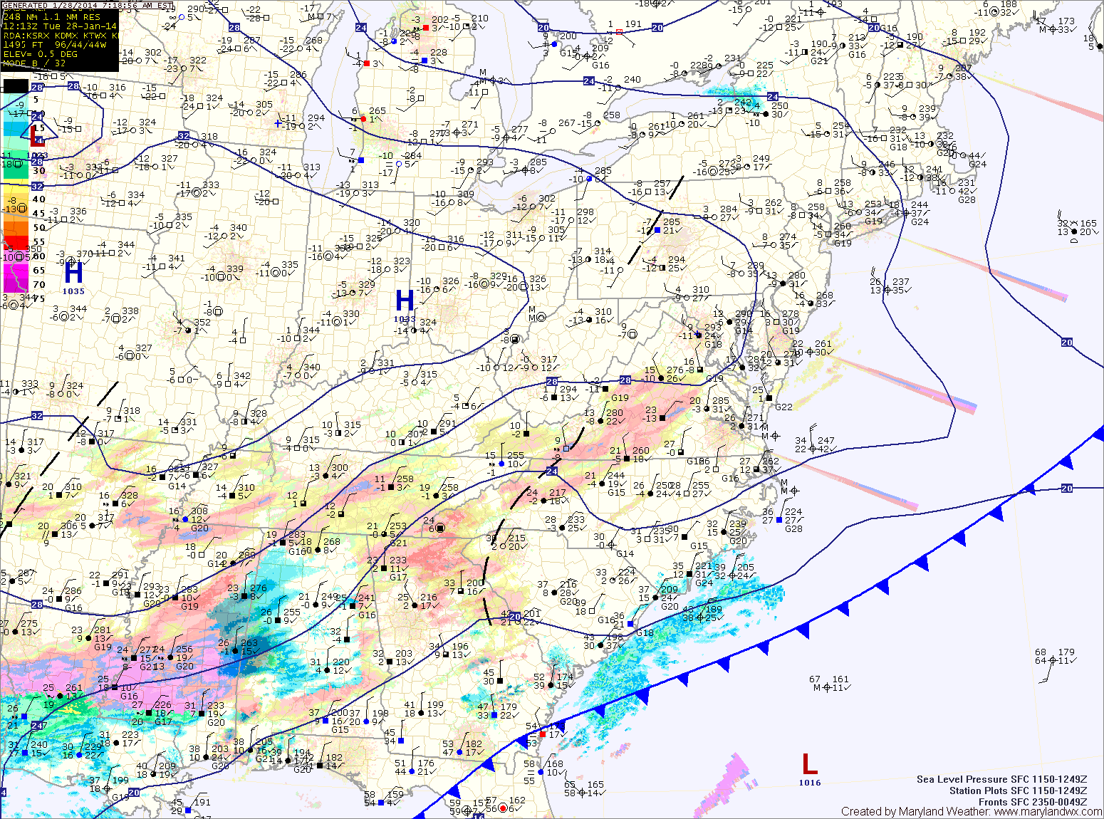
Current Surface MapA cold front is to our west this morning. Ahead of the front, souther flow has pushed milder air up the coast and into our region. Temperatures this morning are around 40 degrees.
The front will make steady progress as it marches eastward today. Expect temperatures to begin to drop this afternoon, falling through the evening and reaching overnight lows in the single digits.
Tomorrow will be partly sunny, cold and windy. A Wind Chill Advisory goes into effect at 1am and will last through the morning hours as highs only reach the mid to upper teens tomorrow afternoon.
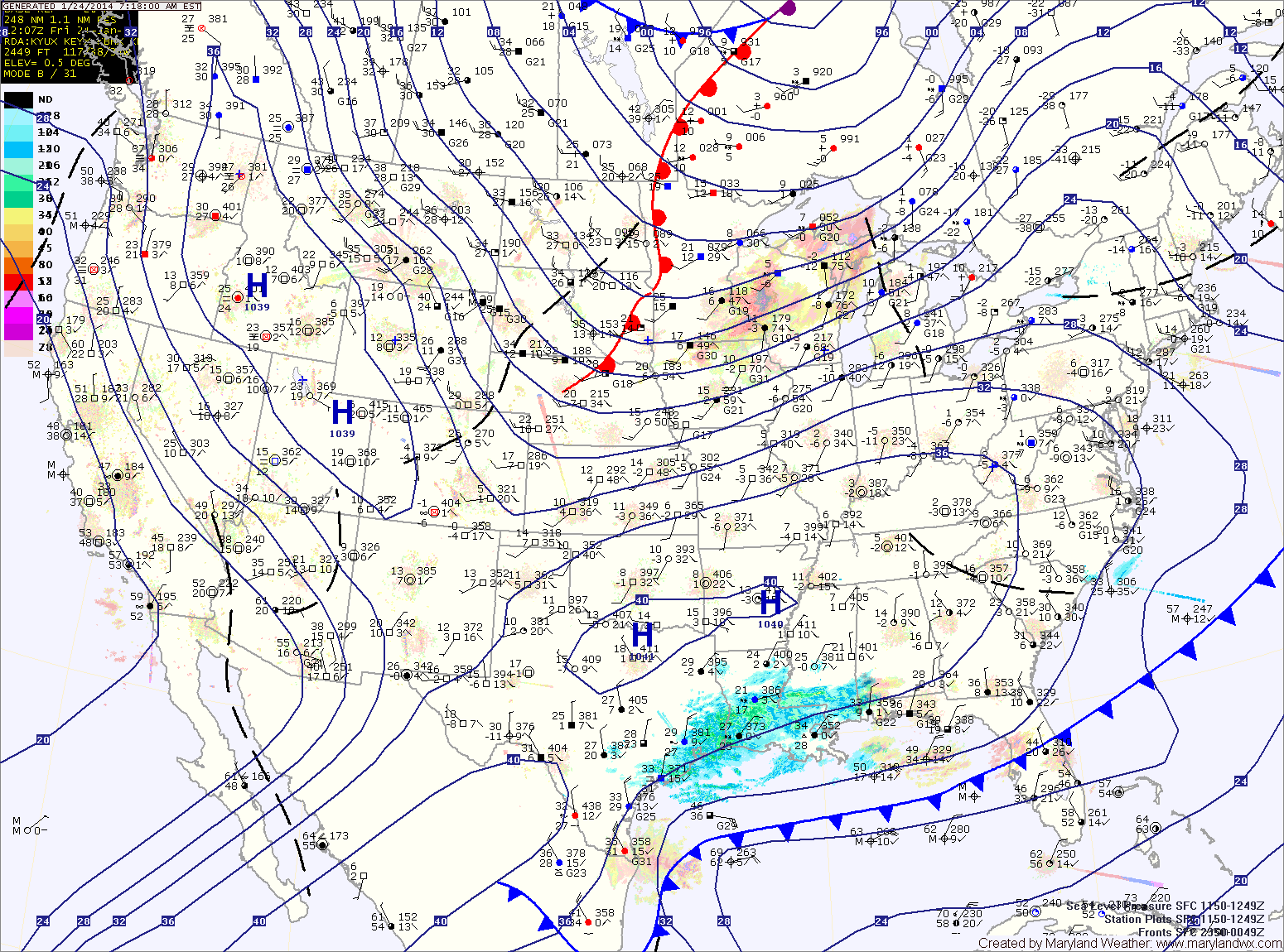
Current Surface MapArctic air remains over the area today as high pressure builds in. Today will be mostly sunny with highs only reaching the upper teens to near 20 degrees.
Clouds will increase tonight as another clipper system approaches. The clipper will push through tomorrow bringing light snow to the area. Minor accumulations of a dusting to perhaps an inch are possible before the snow ends tomorrow evening.
It will be warmer than recent days with highs reaching the low 30s.
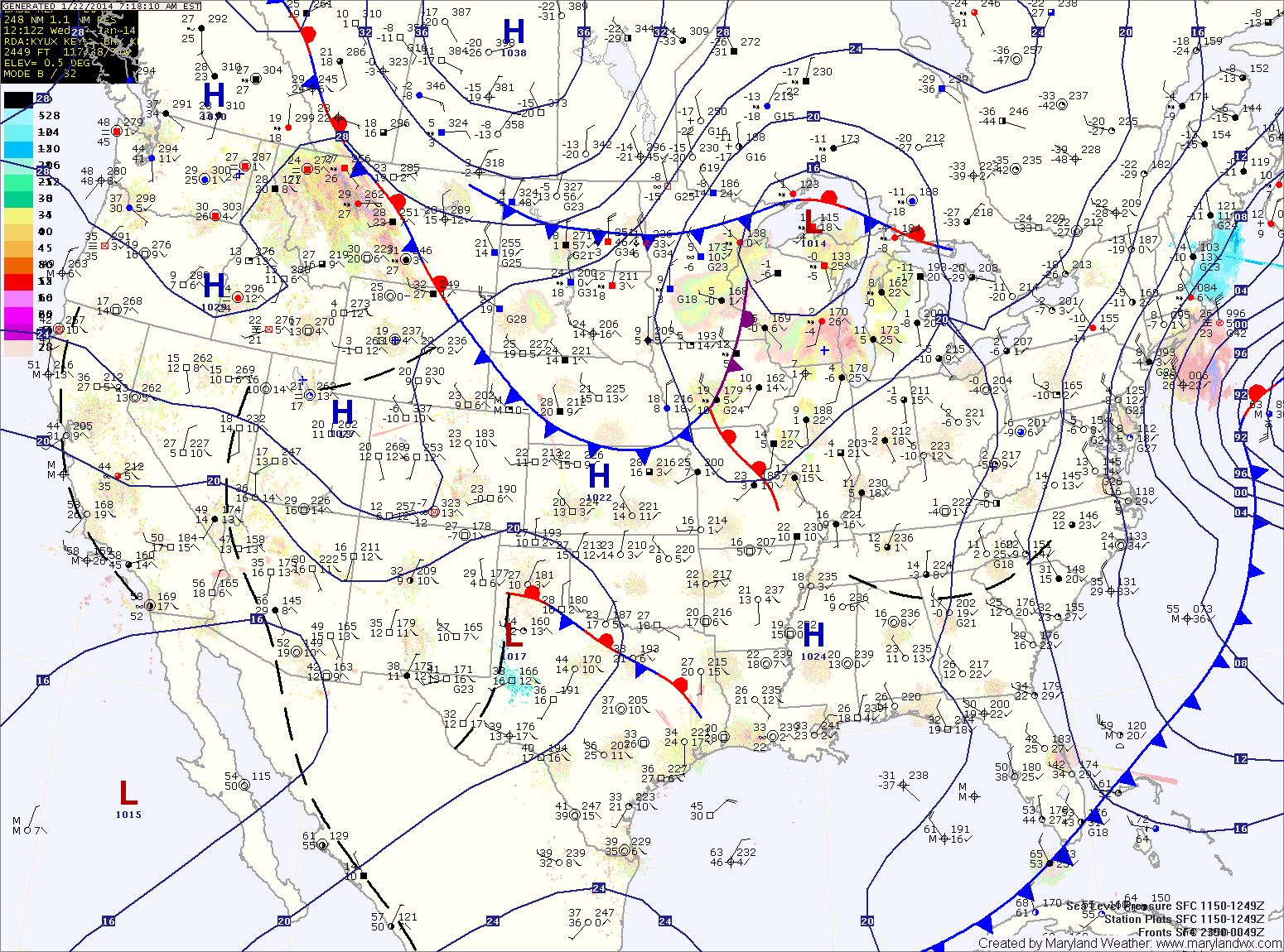
Current Surface MapYesterday’s snowstorm has departed the area and has brought in cold arctic air. Snowfall totals range from around 10″ near the PA border, to 7″ at BWI to 1-4″ across southern Maryland and on the lower eastern shore.
A Wind Chill Advisory is in effect for central Maryland until noon for wind chills to -15. Highs today will be in the low teens with gusty winds.
A clipper system will move into the area tomorrow, bringing a chance of snow showers during the afternoon along with more cold air. Highs will be in the low 20s.