Continued Mild, Becoming Unsettled
Summary: A cold front will slide through tonight, stalling just to our south tomorrow. The front will move back to the north this weekend, leading to unsettled weather. Expect another…

Everything you need to know about the weather in Maryland

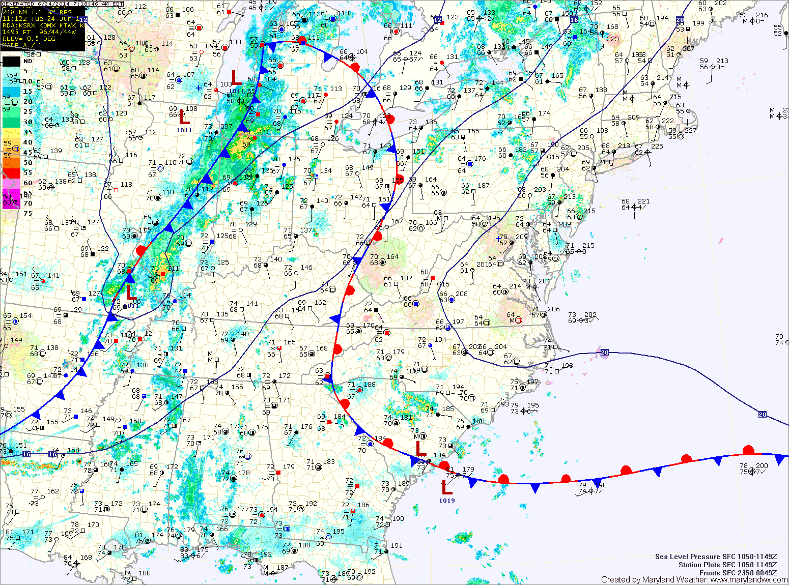
Warm and humid conditions will continue today and will support shower and thunderstorm development this afternoon. Some of the storms could produce locally heavy rainfall. Highs today will be in the upper 80s to around 90.
The storms will decrease in coverage and intensity overnight, but isolated to scattered storms will remain possible.
A cold front will approach tomorrow, trigging more showers and storms. The storms will again be capable of producing heavy rainfall. It will continue to be hot and humid, with afternoon highs in the low 90s.
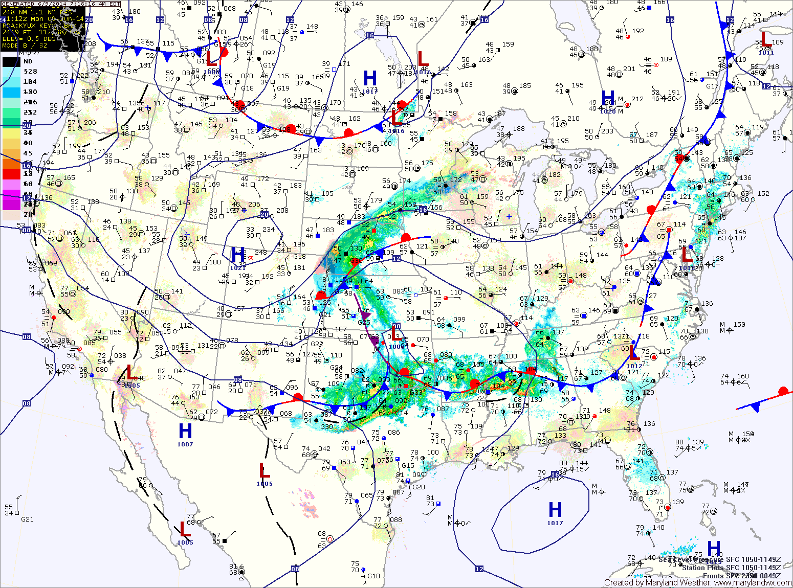
A cold front will approach from the west tomorrow. Showers and thunderstorms are likely mainly during the late afternoon and into the night. Showers and storms will be capable of very heavy rainfall and localized flooding. Highs will be in the upper 80s to around 90.
The front should clear the area by Thursday morning. Expect mostly sunny skies and highs in the mid 80s.
With a weak frontal boundary over the area today, expect isolated showers and thunderstorms to develop this afternoon. Highs will be in the low 80s.
Expect more of the same tomorrow, with highs in the mid 80s.
Low pressure that is currently over Oklahoma will move northeastward and be to our west on Wednesday. This system will reinforce shower and thunderstorm chances Wednesday into Thursday. Highs will continue in the mid 80s both days.
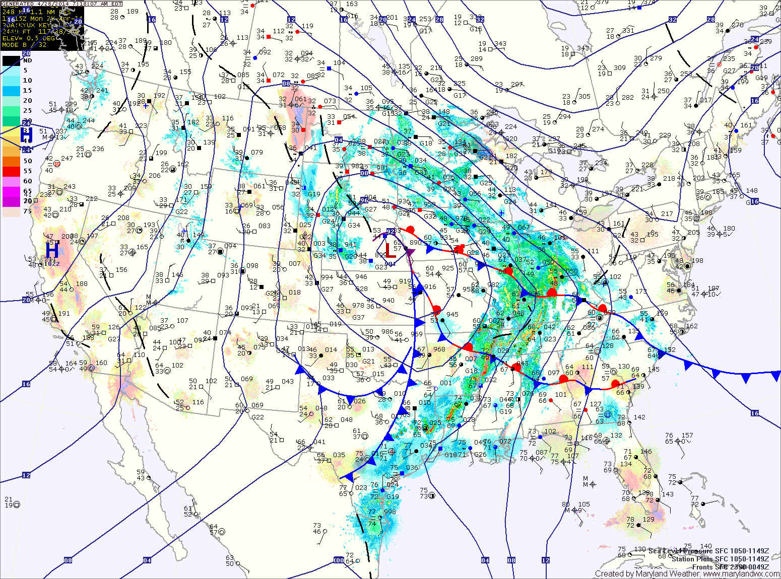
Today will feature increasing clouds with the first round of showers moving in late this afternoon or evening. Highs will be in the low to mid 60s.
Showers will continue tonight and tomorrow, with the rainfall becoming steadier tomorrow afternoon. It will also be breezy, with highs in the low to mid 50s.
Rain will continue tomorrow night and Wednesday, heavy at times. Isolated thunderstorms are also possible Wednesday afternoon. Highs on Wednesday will be in the mid to upper 60s.
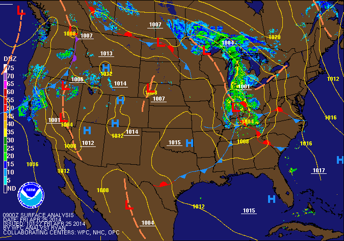
The front will clear the state tonight and skies will partially clear heading into tomorrow morning. Another front will sag southward tomorrow with very little moisture. There is a slight chance of an afternoon or evening shower, but otherwise it will be dry and warm with highs in in the low 70s.
Sunday will be mostly sunny with highs in the mid 60s.