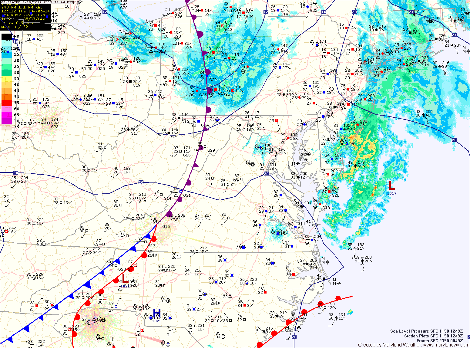
Cold Front Threatens O’s Opener; Freeze Likely Tonight
Summary: A cold front will cross the state this afternoon and evening. Cold high pressure builds in behind it and persists into Wednesday. Another system will affect our area Thursday.…

Everything you need to know about the weather in Maryland
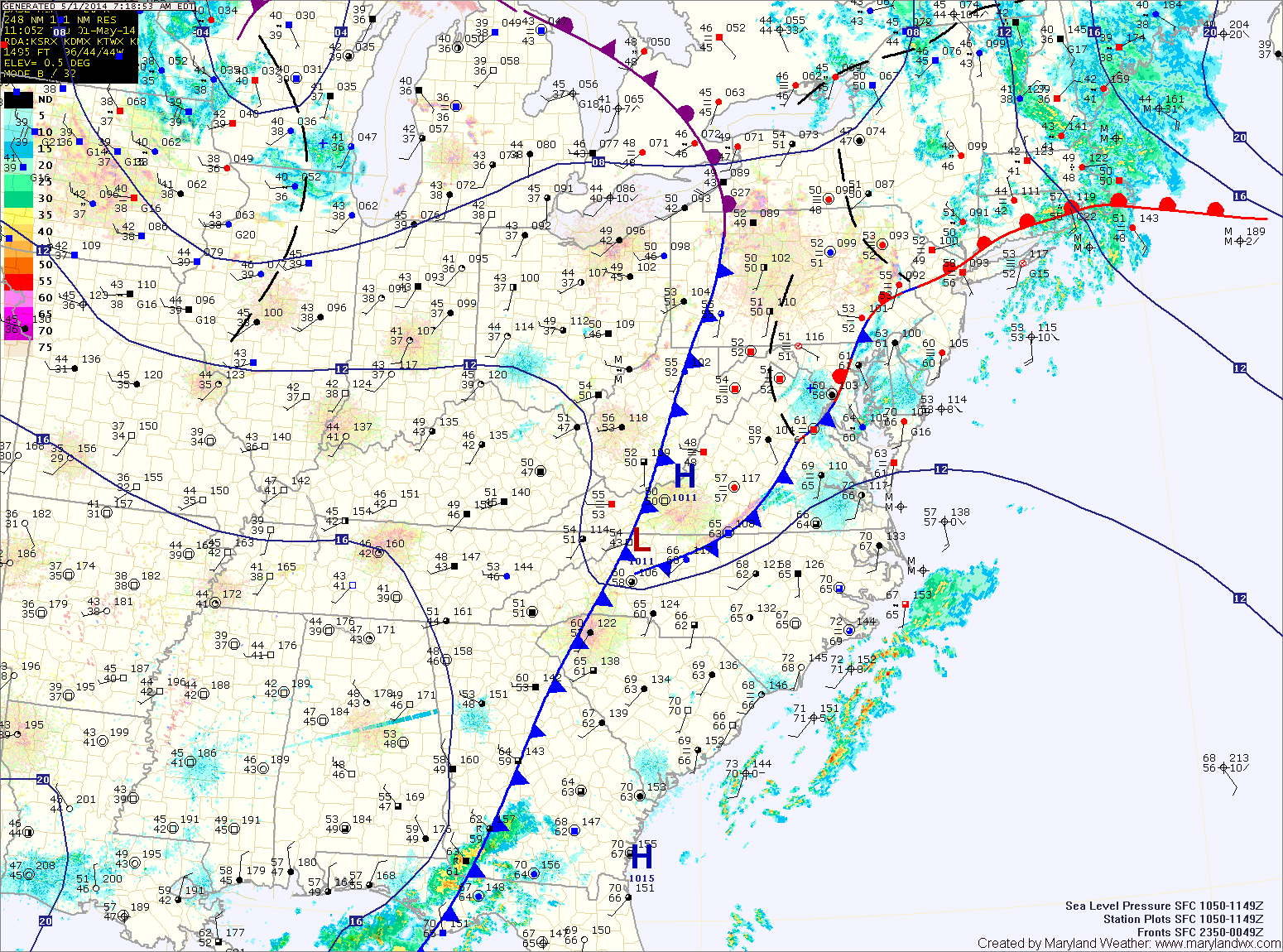
Behind the front, expect skies to gradually clear through this evening. Highs today will be around 70.
A weak cold front will move through tomorrow but will bring nothing more than a few clouds as it does. Highs will be in the upper 60s.
Yet another cold front will pass through on Saturday with a very slight chance of an evening shower. Highs will be in the low 70s.
The front will clear the area tonight allowing drier air to move in for the weekend. Tomorrow will be mostly sunny but breezy with highs in the low 60s.
Sunday will also be mostly sunny with less wind. Highs will be around 60.
Today will be generally cloudy as low pressure to our south and high pressure to our north combine to form easterly flow off of the ocean, resulting in clouds and perhaps some freezing drizzle across southern Maryland this morning. Highs today will be around 40.
Clouds and periods of drizzle will continue tonight, with the drizzle becoming a bit more widespread. Freezing drizzle is possible once again late tonight or early tomorrow morning as temperatures drop to near freezing.
Showers will develop tonight as the front moves closer. The showers will continue tomorrow and a thunderstorm is also possible as the front pushes into the area. Some of the showers and storms could produce locally strong, gusty winds. Highs tomorrow will be in the upper 50s, possibly low 60s depending on the exact timing of the frontal passage. The front should clear the area during the late morning or early afternoon, gradually ending the rain from west to east.
Behind the front, west to southwest flow will keep temperatures up on Saturday. Expect highs to reach the mid to upper 50s under mostly sunny skies.
A weak cold front will touch off scattered showers tomorrow afternoon as highs cross the 50 degree mark, ending up in the low 50s.
As high pressure moves off the coast Thursday, southerly flow will bring a bit of moisture into the region, resulting in increased clouds. Highs will be in the low 50s.
A cold front will approach on Friday, strengthening southerly flow ahead of it. Expect highs to reach 60 despite clouds and rain showers through the day. An isolated thunderstorm is also possible during the afternoon hours.