Next week continues to look interesting…
I posted a quick update to Facebook yesterday, mentioning that next week was starting to look interesting, weather-wise. Well, the global models from last night continue to show an interesting…

Everything you need to know about the weather in Maryland
A Winter Weather Advisory goes into effect tonight through tomorrow afternoon for Calvert, St. Mary’s, Somerset and Wicomico counties.
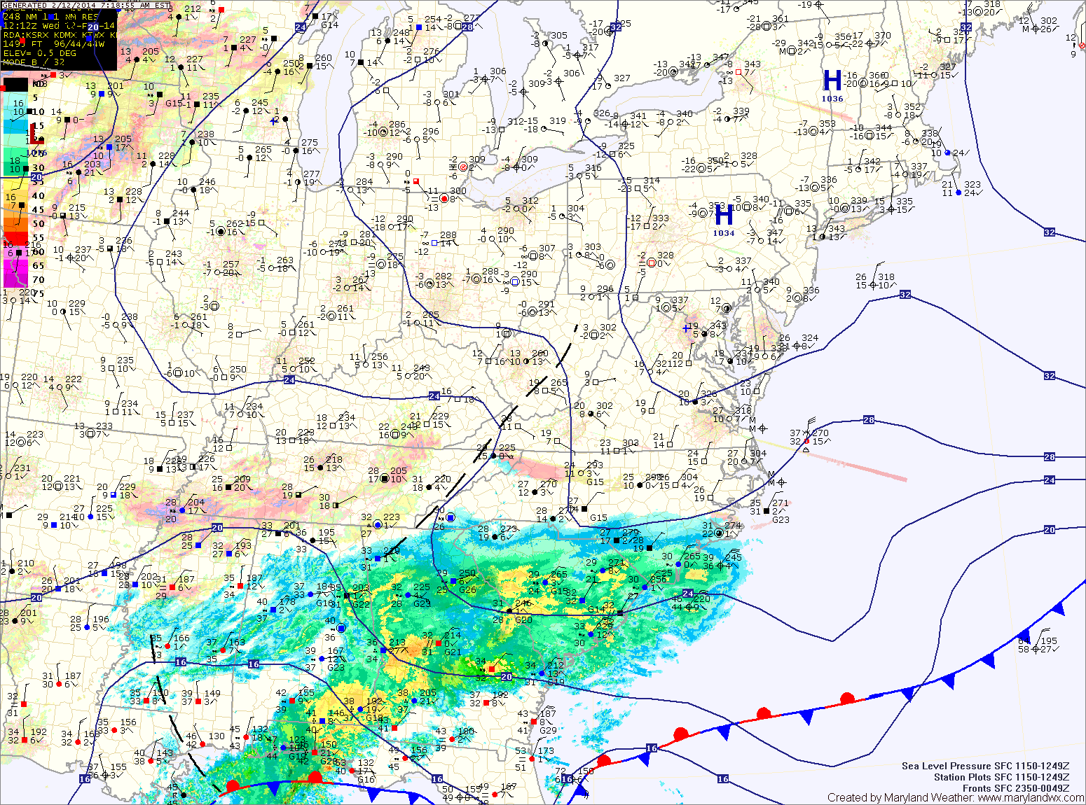
An area of low pressure developing along the Gulf coast will intensify as it moves up the eastern seaboard tonight and tomorrow spreading wintry precipitation into the area.
Expect snow to develop from south to north tonight between 8pm and midnight. The snow will become heavy at times overnight and into tomorrow morning. The low will pass very close to the Delmarva coast tomorrow morning, drawing warmer air into the eastern part of the state and changing the snow over to sleet and or rain. That mix will likely push westward, reaching the I-95 corridor, cutting down snow totals.
West of I-95 should remain mostly snow, with sleet mixing in at times. As is usual with coastal storms, north and west of I-95 will see the heaviest snowfall.
Snowfall Forecast (from southeast to northwest):
-Lower eastern shore: 2-4″ then rain
(Somerset, Wicomico, Worcester)
-Central and northern eastern shore: 4-6″ then sleet and rain
(Dorechester, Kent, Queen Annes, Talbot)
-Lower southern Maryland: 3-5″ then sleet and rain
(Calvert, St. Marys)
-From the bay to I-95: 5-10″, mixing with sleet and rain at times Thursday afternoon
(Anne Arundel, Prince Georges, Charles, Baltimore City)
-Western and northern I-95 counties: 6-12″ with some mixing
(Montgomery, Howard, Northern Baltimore, Harford, Cecil)
-West of I-95: 8-12+”
(Carroll, Frederick, Washington)
-Western Maryland: 4-8″