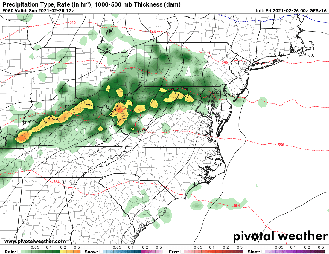
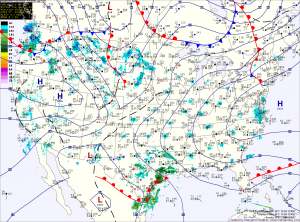
Mild but Wet Weekend on Tap
Today will see increasing clouds, and highs in the mid to upper 40s. A storm system will approach from the southwest, bringing rain, and a wintry mix in the higher…

Everything you need to know about the weather in Maryland
This weekend will feature a mix of clouds and sun and warmer temperatures. Highs tomorrow will be in the mid 50s, warming to the mid 60s on Sunday.
As we move into next week, a cold front will move towards the region. The front will cross Monday, bringing another round of rainfall.
The front will then stall out just to our south.
An area of low pressure will bring a chance of showers late tomorrow into tomorrow night. Highs will be in the low 50s.
Warmer conditions are expected this weekend with highs on Saturday around 60 and well into the 60s on Sunday.
A series of low pressure systems and associated cold fronts will move through the region early next week.
Currently, rain appears likely Monday with another round on Tuesday.
A dry cold front will cross tonight, dropping temperatures back into the low 50s tomorrow.
Another cold front will push through on Friday and this one will bring light rain to the area into Friday night as it crosses.
Warm high pressure takes control over the weekend, with highs on Saturday and Sunday in the low 60s.
A series of disturbances will keep next week unsettled with shower chances off and on through the week.
Tomorrow will feature a bit more cloudiness as a dry cold front pushes through. Highs will top out in the mid to upper 50s before the front crosses.
Behind the front, Thursday will be about 10 degrees cooler, with highs in the mid to upper 40s.
A storm system pushing northward into the midwest will spread rain into the area Thursday night and Friday. Highs Friday will be in the low 50s.
Today will be mostly sunny, with highs in the mid 40s.
We will add about 5 degrees or so to that tomorrow, as highs top out in the low 50s under mostly sunny skies.
Wednesday will be even warmer, with highs in the mid to upper 50s.

Clouds will increase tonight and tomorrow as a weak frontal boundary sets up in our area. Warmer air flowing northward may cause light showers to break out later tomorrow. Highs will be around 50 degrees under cloudy skies.
The front should push northward Saturday as southerly flow strengthens. This will allow for more sunshine and temperatures in the low 60s.