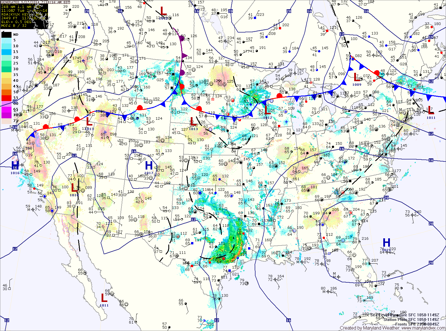
Showers & Storms Bookend Holiday Weekend
Summary: High pressure off the coast will keep warm and humid air in place today as a cold front moves in from the west. The front will pass through tonight. High…

Everything you need to know about the weather in Maryland
As the tropical system off of the southeast coast strengthens and a cold front approaches from the west, moisture will increase tomorrow and as a result, thunderstorms are likely tomorrow afternoon and evening. Some of the storms could become severe with damaging winds and large hail. Locally heavy rainfall is also possible. It will continue to be hot, with highs in the low to mid 90s.
Thunderstorms will remain likely tomorrow night through Thursday as the front remains to our west and the tropical system remains to our south. Another round of severe weather is possible Thursday afternoon as well. Highs will be in the upper 80s to around 90.
We will remain in warm humid air tonight and tomorrow, keeping the threat of rain in the forecast. Additionally, another round of thunderstorms is likely tomorrow afternoon and evening. Highs will be in the low to mid 80s.
A cold front will approach on Friday, setting the stage for yet another round of showers and thunderstorms Friday afternoon and evening. The front will clear the area Friday night into Saturday morning, setting the stage for a drier weekend.
An area of low pressure will approach tomorrow, increasing shower and thunderstorm chances. Showers and thunderstorms are likely during the afternoon and evening hours. Some of the storms could become severe with damaging winds and large hail. Highs will be in the mid 80s.
The low pressure system will move by to our northwest Thursday, keeping the region in warm and humid air. Showers and thunderstorms are likely again Thursday into Thursday night. Highs will again be in the mid 80s.
The front will push through tonight, bringing an end to the thunderstorm threat. However, showers are likely to continue through the night and into tomorrow. As easterly flow develops, the showers will diminish but low clouds and areas of drizzle will remain through most of the day. Highs will only be in the mid 60s.
Skies will try to clear on Friday as high pressure builds in and the flow becomes more westerly. Temperatures will rebound and highs will reach the mid 70s.
A backdoor cold front will approach tomorrow, adding another mechanism for shower and thunderstorm development. Showers and storms are likely tomorrow as well, especially in the afternoon. Highs will be around 80.
The front will push through the state Wednesday night into Thursday morning. Showers will remain likely Thursday morning, tapering off during the afternoon as the front pushes south. It will be much cooler as well, with highs likely topping out in the mid to upper 60s.