Cool and Cloudy; Widespread Rainfall Thursday into Friday
Weak low pressure will continue to push through our area today, keeping us cool and cloudy, with an occasional sprinkle possible. We will warm a little tomorrow, with highs in…

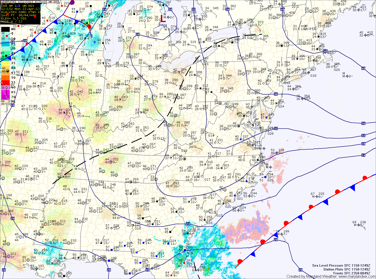
Everything you need to know about the weather in Maryland
Tomorrow will be a cloudy day but warmer, with highs in the upper 50s to around 60.
An area of low pressure may approach from the south on Saturday, but at this time, it appears it will slide off the coast before impacting the area with anything more than clouds. Highs will be in the mid 60s.
Sunday will be mostly sunny with highs in the mid 60s.
The system will move away from the area tonight and tomorrow as high pressure moves in. Tomorrow and Wednesday will be similar to today, a little warmer, with a bit more sun. Highs will be in the mid 50s.
A cold front will approach on Thursday, spreading showers into the area. Highs will warm into the low 60s.
The front will be a slow mover and may stall out near the area. This will keep rain in the forecast on Friday. Highs on Friday will be in the low 50s.
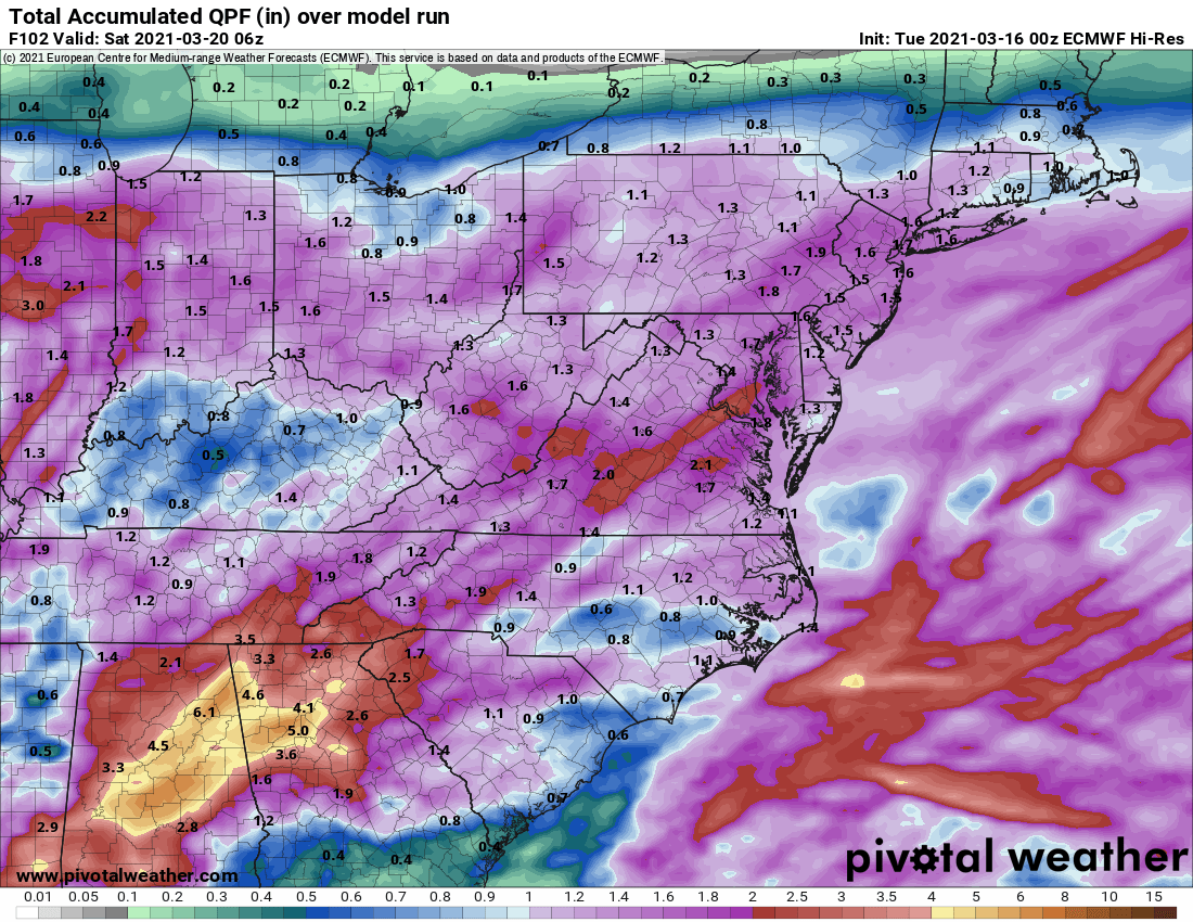
The rain will overspread the entire state tonight and become steady. The rain will continue tomorrow and highs will remain in the low 60s.
Expect the rain to begin to lighten as we move into tomorrow night and Friday. Although the rain will decrease in intensity, showers are expected to continue through Friday and into Friday night. Rainfall totals of 1-4″ are likely, with the highest amounts along the coast and lowest amounts in the mountains.
The low will pass by early tomorrow morning, bringing a slight chance of drizzle to the eastern portion of the state late tonight into tomorrow morning. Tomorrow will remain partly sunny with a high near 60.
A cold front will approach the area tomorrow night and Wednesday. Showers and thunderstorms are expected to break out ahead of the front and spread into the area Wednesday afternoon and night. Highs Wednesday will be closer to normal for this time of year, topping out in the upper 60s to near 70.

High pressure moves in tomorrow, bringing mostly sunny skies but maintaining the breezy conditions. Highs will be in the low 50s with northwest winds gusting to near 20mph.
Clouds increase Sunday as an area of low pressure moves by to our south and out to sea. Highs Sunday will be around 50 degrees.
The first half of the work week looks cloudy but dry as another system develops to our south. Highs Monday and Tuesday will continue below normal, in the low 50s.

Overnight lows will drop into the mid to upper 30s tonight under mostly clear skies.
Expect more clouds tomorrow as a weak area of low pressure moves through. The low will also cause winds to pick up during the afternoon. Highs will be in the low to mid 50s.
High pressure builds in behind the low on Saturday, providing a mostly sunny day with highs in the low 50s.