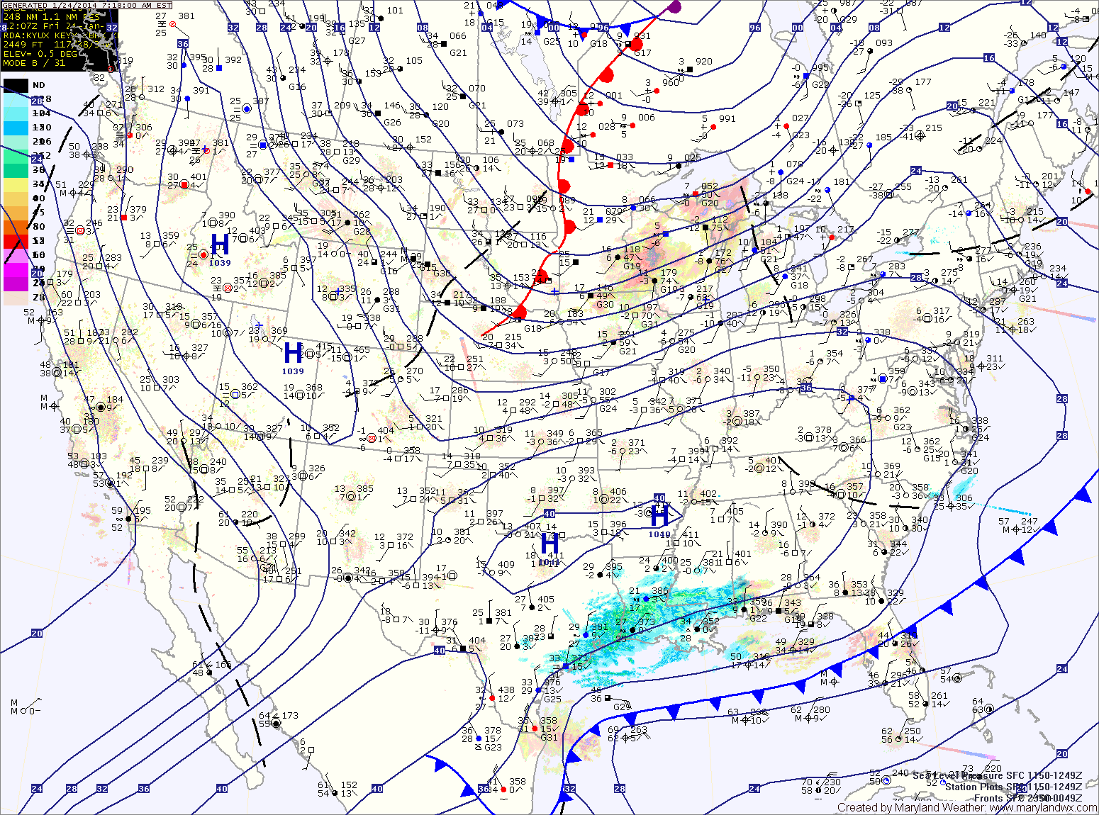
Light Snow Likely Tomorrow Morning
------ The National Weather Service has issued a *WINTER WEATHER ADVISORY* for Garrett county that is in effect until 7am Sunday. ------ A clipper system will pass through the state…

Everything you need to know about the weather in Maryland
A Wind Chill Advisory is in effect this morning for wind chills below zero.
Clouds will increase tonight as another clipper system approaches. The clipper will push through tomorrow bringing light snow to the area. Minor accumulations of a dusting to perhaps an inch are possible before the snow ends tomorrow evening.
It will be warmer than recent days with highs reaching the low 30s.
In it’s wake, high pressure builds in with mostly sunny skies tomorrow. Highs will be in the low to mid 40s.
Clouds will increase through the day on Friday as a fast moving clipper system approaches. Highs will be in the low 50s.
As the clipper passes through, showers are likely late Friday night and Saturday. Highs on Saturday will be in the low 50s.

Highs will be in the upper 50s to around 60.
Tomorrow will be around 10 degrees cooler than today as a secondary boundary pushes through.
Little to no precip is expected with this front, but winds will increase and temperatures will drop further behind it.
Thursday and Friday will feature breezy conditions under mostly sunny skies with highs in the mid to upper 40s.
The system is expected to stall near the area tomorrow, continuing a slight chance of light snow or mix as temperatures warm tomorrow afternoon. Highs will be near 40 tomorrow.
Another clipper will move through tomorrow night, continuing the chance of snow through tomorrow night.

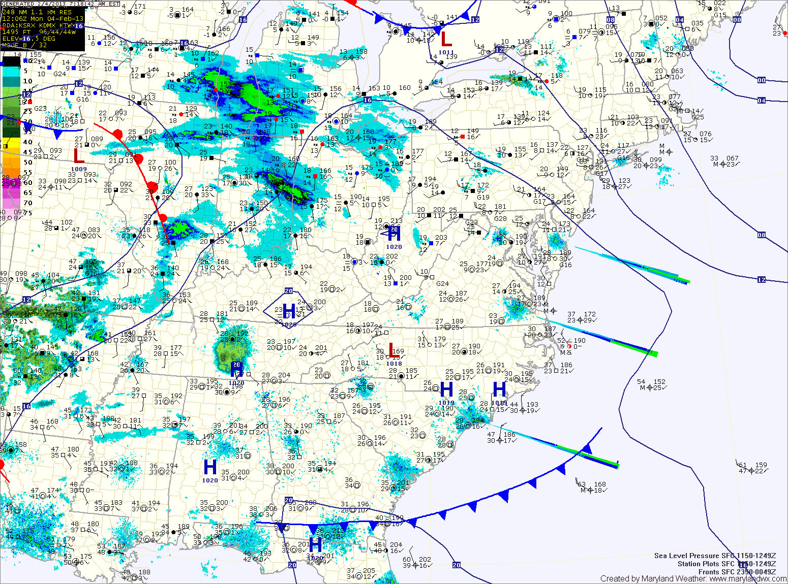
 Rain is currently overspreading the area from west to east and will last though the night. A rumble of thunder will also be possible this afternoon, as temperatures rise into the mid to upper 40s. Rainfall totals of around 3/4 of an inch are expected by tomorrow morning.
We clear out tomorrow and Friday, with highs tomorrow in the mid 60s while mid 50s are expected on Friday.
A fast moving area of low pressure bring a chance of showers during the overnight on Friday and more showers on Saturday.
Today will be mostly sunny with highs in the mid 40s. Clouds increase tonight ahead of the next weather system. A warm front will cross the area tomorrow morning, allowing light rain to develop late morning and into the afternoon. The rain will become more widespread and heavier tomorrow evening as a low pressure develops along a cold front that will cross the area late tomorrow night. Skies will begin to clear by Friday afternoon, but not before .50 to .75″ of rain has fallen.