
TS Andrea to Bring Heavy Rain Today
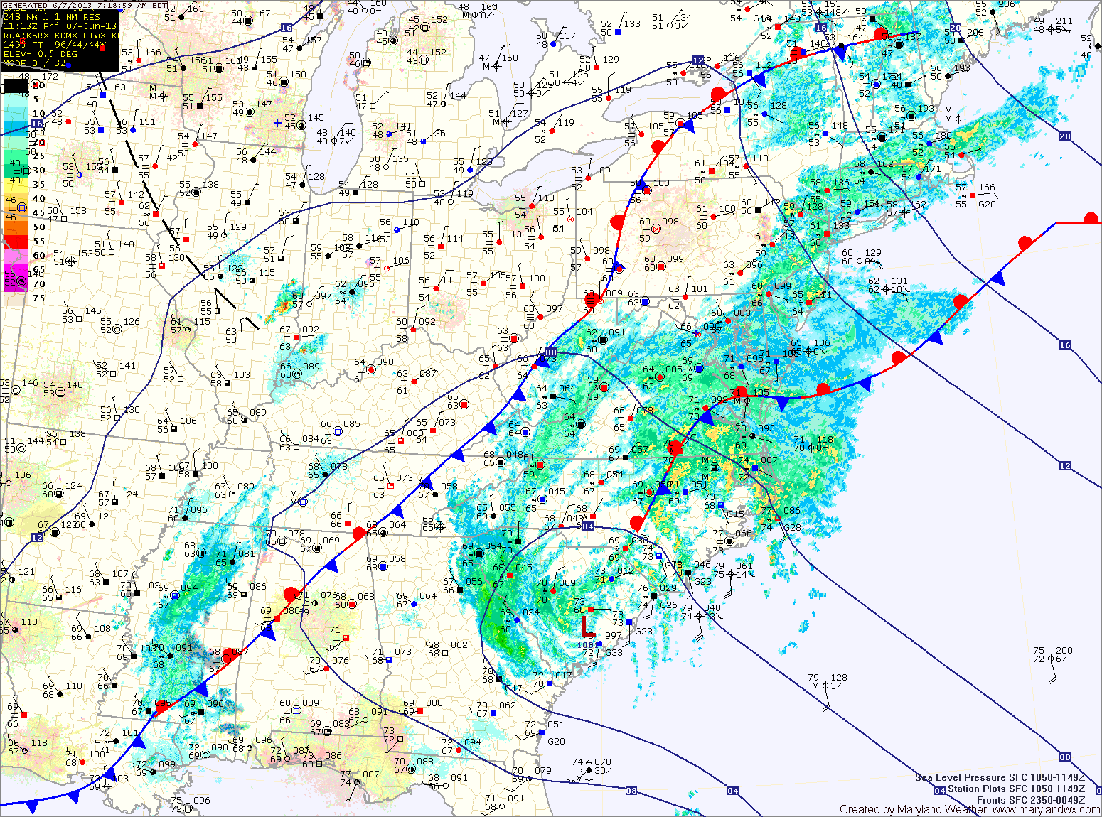
Over an inch of rain has fallen across most of the state and another 2-3 inches with isolated spots over 4 are possible today and tonight. Consequently, a Flash Flood Watch is in effect for most of the state, east of the mountains through tonight.
Rain from Andrea will taper off around midnight tonight as the storm system races off to the northeast. Behind the system, warm, moist, tropical air will be left in place. This will set the stage for a muggy Saturday with scattered afternoon showers and thunderstorms. Highs will be around 80 degrees.