
It is still far too early to pin down any specifics about the storm system that may affect our area Monday night into Tuesday but I wanted to give an update on how things are playing out today.
There is still very strong model agreement that a system will affect our area in the Monday night into Tuesday timeframe.
While they all agree on the prospects, there are (expected) deviations to the details and evolution of the storm.
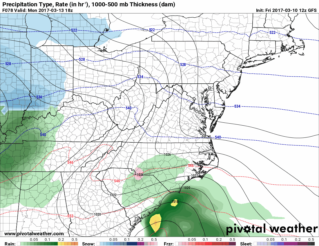
The GFS has trended westward with the track which allows warmer air to flow into eastern portions of the state, changing the snow over to rain.
It still shows a significant snowfall prior to the changeover, but areas east of the mountains would see a snow to mix to rain scenario:
Meanwhile, the European model continues to keep the low offshore which keeps most areas snow and as a result, has higher snowfall totals.
Additionally, the Canadian keeps the system weaker and takes it out to sea, south of our area with only a glancing blow to our state.
While confidence is increasing that the system will develop and will likely impact our area, there are still many scenarios for this storm. Will the westward trend continue? Will the other models join the GFS? Will the GFS shift back eastward? All of these are possible and we should converge on the most likely solution over the next few days.
Regardless of the snow potential, it will feel like winter this weekend with highs in the 30s and overnight lows in the 20s. Behind the system, we will remain cold through the end of the work week with highs in the 30s to near 40 through Friday.
Want the latest blog posts emailed to you?