
The pleasant weather from this past weekend will continue into this week as we remain dry through most of the week and temperatures warm to near record levels.
Expect mostly sunny skies today through Wednesday with highs in the low to mid 80s each day. Today’s record high at BWI is 90, set in 1930. That record is safe but tomorrow’s and Wednesday’s are in jeopardy of falling as the record high for each day is 82, set in 1945 and 1947 respectively.
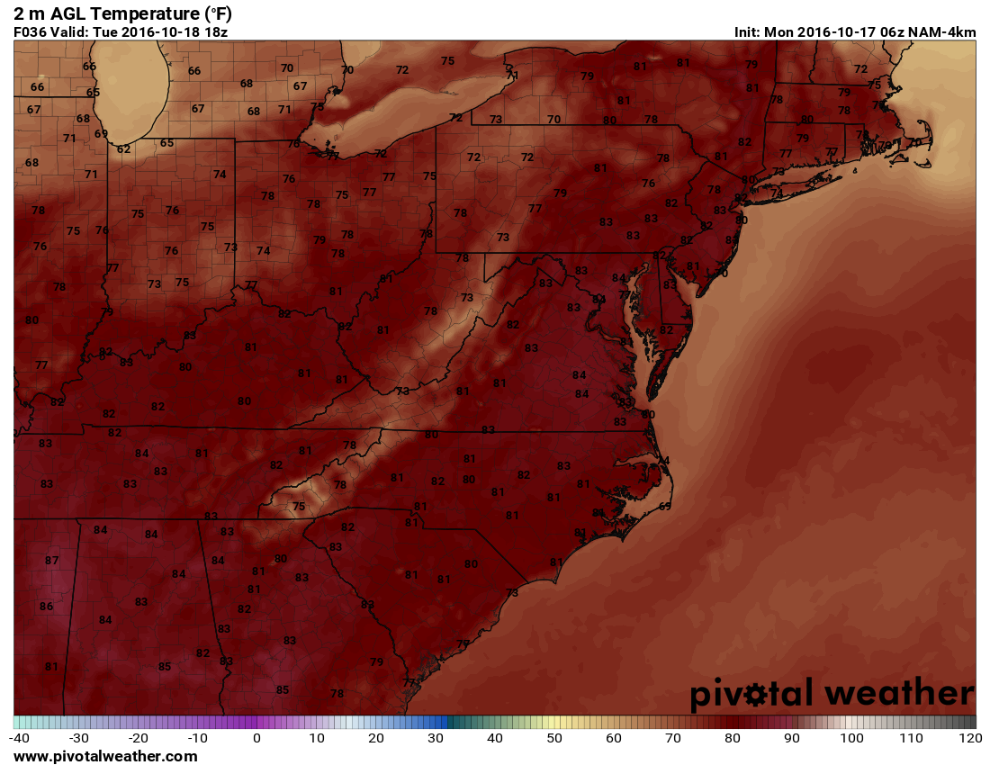
Here is the NAM forecast temperatures for tomorrow afternoon showing mid 80s across the region:
By Thursday, clouds will be on the increase as a cold front approaches from the west. Highs will likely be held back a few degrees, reaching the upper 70s to around 80.
The front will likely pass through Thursday night into Friday, bringing scattered showers to our area during that time.
High pressure will build back in for the weekend, bringing cooler and drier conditions. Highs on Saturday and Sunday will be back in the low to mid 60s.