
Summary: High pressure over the area today will give way to a warm front passage tonight. A cold front will move through tomorrow night. The front will stall out on Sunday as a wave of low pressure moves through. A stronger system will move into the area Tuesday and Wednesday.
Good morning! Today will feature more clouds than sun and near normal temperatures. Highs will be in the low to mid 40s across the state.
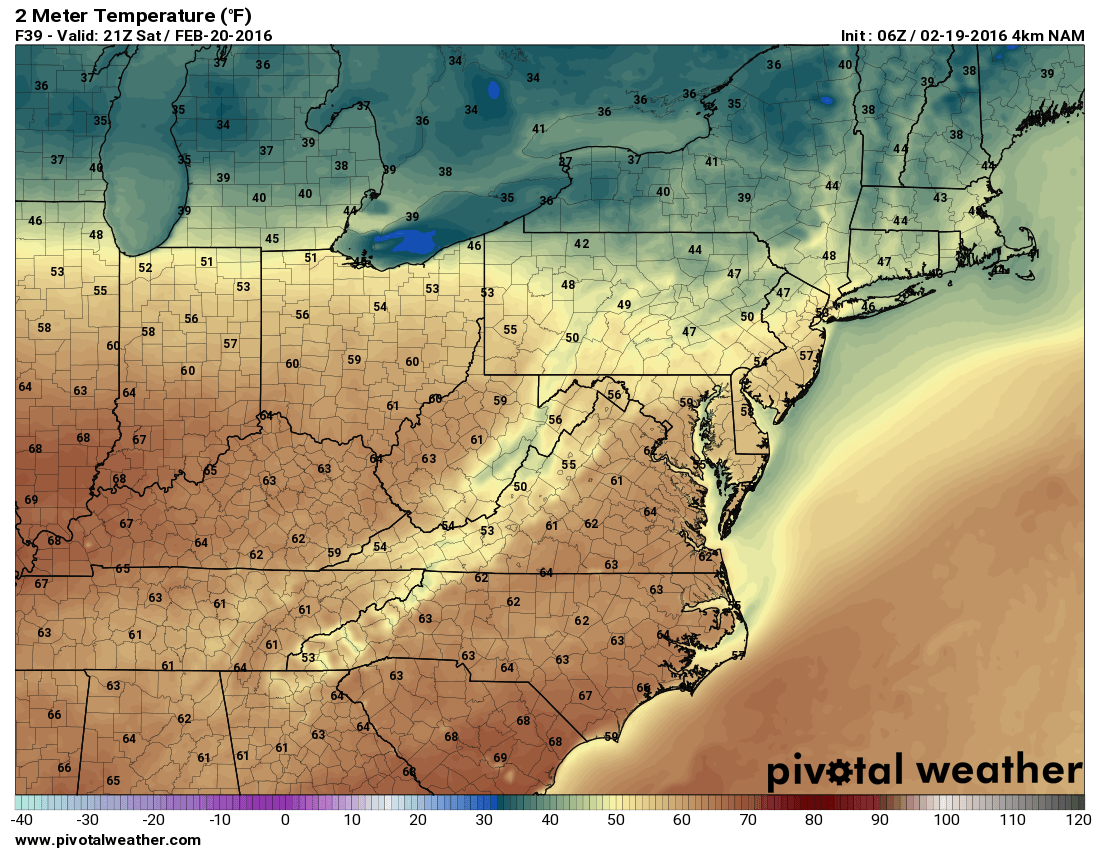
A weak cold front will slip through tomorrow night and stall out over the area on Sunday. A wave of low pressure will move along the front, bringing an chance of showers during the afternoon and evening hours. It will still be mild, with highs in the upper 40s in the mountains to upper 50s elsewhere.
Monday looks to be quiet as we will be between the departing low and a stronger system forming to our southwest.
This system looks to move into our area late Tuesday spreading precipitation into the state by Tuesday evening. While it will have plenty of moisture with it, it will be lacking a strong cold air source to the north and the track looks to be too far west for any real snow chances outside the far western mountains. Of course, this is subject to change and the details will come into focus over the coming days.
The storm will pull away on Wednesday, ending any precipitation and allowing high pressure to build back in for the end of the week.