
Summary: Low pressure continues to move through the state this morning. The low will pull away this afternoon was high pressure begins to push into the area. We remain dry into the weekend. Another system may affect the area late Monday.
Warmer air has finally warmed temperatures above freezing just about everywhere as heavy rainfall progresses northeastward. The back edge of the rain is moving towards central Maryland and will continue to progress north and east during the next few hours. 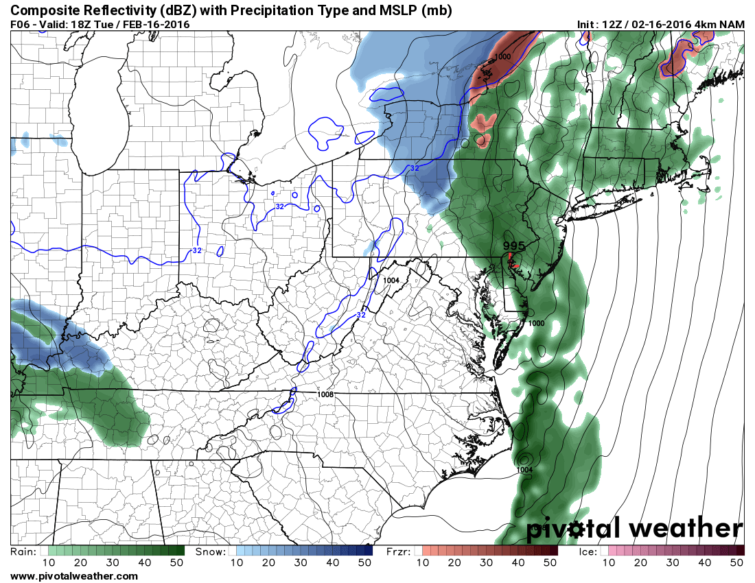
In the mean time, moderate to heavy rainfall combined with snow/ice melt has raised flood concerns for most areas, especially along streams and rivers. This flood threat will subside later today as the heavy rainfall moves out.
High pressure will bring drier air into the region tonight and tomorrow. The high will stay in control through Thursday and into Friday. A weak cold front will slide through Friday but will lack moisture so we should continue to see dry conditions into the weekend.
Temperatures will be near normal for this stretch with a slight warming trend this weekend.
An area of low pressure associated with a cold front may affect our area late Monday with a slight chance of showers Monday evening. The cold front will bring additional showers on Tuesday.
The long range models are indicating that low pressure may develop along this front to our south and then come up the coast. If this were to happen, it would affect our area Wednesday or Thursday. With colder air working in, there is a chance of snow should this scenario play out. This event is more than a week away and subject to major change, but for now, it is something to watch.