
Summary: High pressure early today will give way to a cold front that will pass through this evening. Arctic high pressure builds in this weekend. Low pressure impacts our area Monday and Tuesday
Good Morning! A strong cold front will pass through this evening, ushering in arctic air and touching off scattered snow showers as it passes. These snow showers will be most likely during the evening hours, and could impact the evening rush. 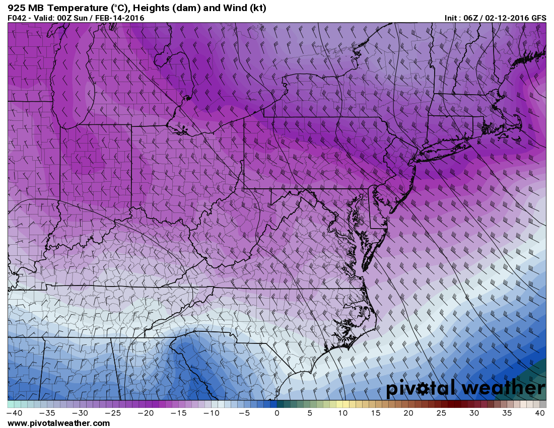
The main story will be what is behind the front. Winds will increase and scattered snow showers will continue as temperatures plummet. Expect temperatures to fall into the teens tonight and only warm a few degrees tomorrow. Northwest winds gusting to over 40 mph at times will make it feel much colder.
As a result, a Wind Chill Watch has been issued for Garrett and Allegany counties where wind chills could drop below -25 degrees at times. Elsewhere, expect wind chills in the single digits throughout the weekend.
Highs on Saturday will range from the single digits in the mountains to around 20 elsewhere.
Overnight lows Saturday night will range from single digits below 0 in the mountains to single digits elsewhere.
Sunday will be mostly sunny but continued cold and windy. Highs will be around 20.
A storm system will approach from the southwest on Monday, spreading a mix of precipitation into the area. It now appears that the storm will ride up the coast, inland meaning that we will end up on the warm side of the system as shown on this morning’s GFS:
[slideshow_deploy id=’11079′]
Monday will likely feature light snow as a system approaches from the southwest. We could see a few inches of snow Monday before most of the state transitions to plain rain by Monday night from east to west. Rain will continue Tuesday morning into Tuesday afternoon, possibly ending as wet snow, especially in the mountains Tuesday evening. This system will bring a substantial amount of precipitation to the region, with upwards of 1.5-2″ likely, most of which will fall as rain.
Behind that system, we clear out with temperatures staying near average (low to mid 40s) for the remainder of the work week.
Have a great weekend! Stay warm!