
Summary: Yesterday’s cold front will stall out to our south today. Low pressure will develop and move up the front later today and tomorrow. High pressure builds in on Saturday while low pressure moves by to our south and east on Sunday.
Today will feature more clouds than sun as yesterday’s cold front stalls out to our south. An area of low pressure will develop along the front and spread showers back into our state this afternoon and evening. The rain looks to be mostly confined to the southern and eastern parts of the state, but a few showers may reach into the DC/Baltimore metro areas as well. Temperatures will continue to fall into the 40s this afternoon.
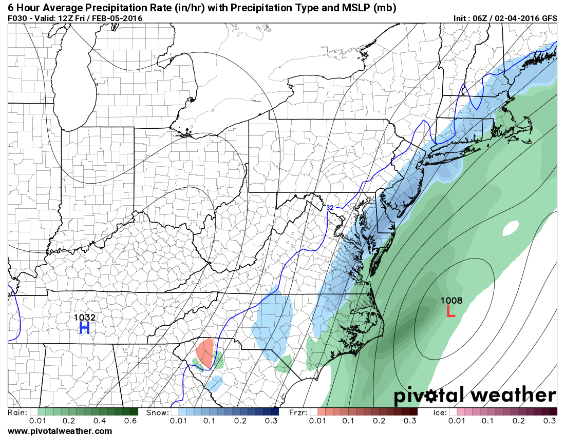
The storm will pull away tomorrow morning, allowing sunshine to return to the entire state by tomorrow afternoon. Highs will be in the mid 40s.
High pressure builds in on Saturday resulting in a mostly sunny day, with highs in mid 40s.
Another storm system will pass by to our south and east on Sunday, leaving us mostly sunny with highs in the upper 40s.
As we move into next week, there are a few separate chances of rain or snow, but nothing looks too organized or definite at this time.