
Summary: A cold front will move into the area today and move through tonight. Low pressure is expected to develop along the front and move by to our southeast. Another area of low pressure will move by to our southeast late Sunday into Monday.
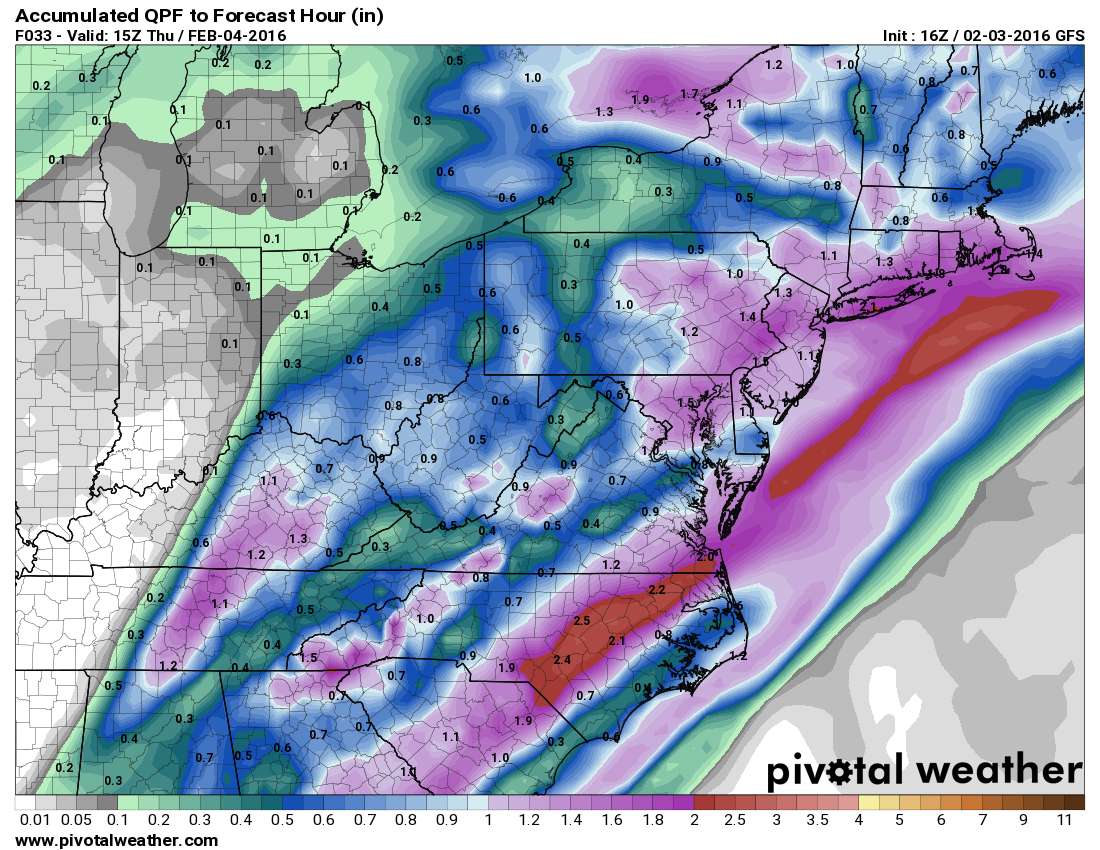
The moderate to locally heavy rainfall will combine with snowmelt to produce localized flooding. For this, a Flood Watch has been issued for all of central and northern Maryland east of the mountains.
Tomorrow will be partly sunny, with highs in the upper 40s.
Expect sunshine on Friday with highs in the mid to upper 40s.
Low pressure is expected to develop along the front Saturday and move by to our south and east. Right now, it appears the storm will stay south of our area and not impact our weather. Expect mostly sunny skies and highs in the mid 40s.
The pattern looks to remain active into next week with several areas of low pressure that may impact our area. The details of this period still remain to be resolved.