
Summary: High pressure builds in briefly today as a cold front approaches from the west. The front will move through tomorrow followed by high pressure to end the week.
 Today is Groundhog Day, and despite plenty of sunshine, the groundhog somehow did not see his shadow and is predicting an early spring. It will remain mostly sunny today, with highs in the upper 40s to around 50.
Perhaps the groundhog was predicting what the weather would be like tomorrow, as it will certainly feel spring-like as a cold front approaches from the west. Ahead of the front, temperatures will rise into the upper 50s to low 60s across the state.
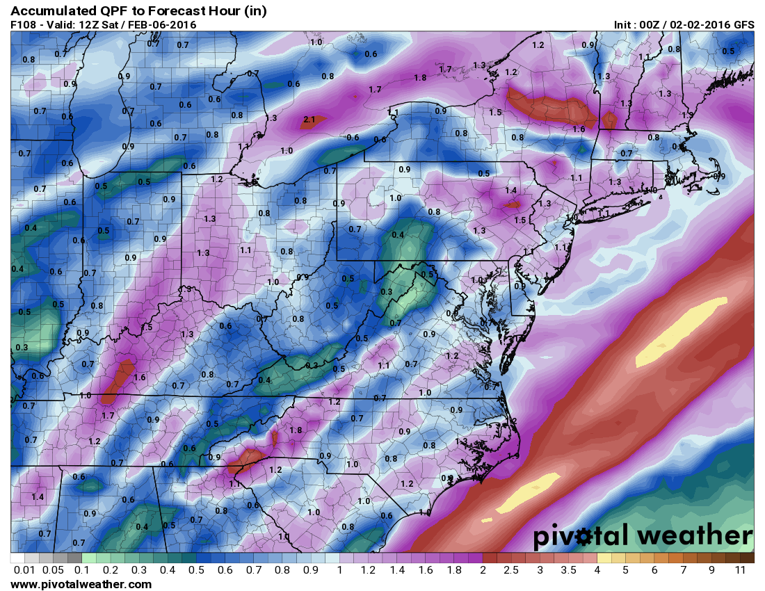 Showers are expected to develop late tonight and will become more widespread and steady as the front crosses during the afternoon and evening, with a rumble of thunder also possible. Rainfall totals of a half to 1″ are possible across the state.
Showers will linger into the overnight and will clear out by early Thursday morning.
Thursday will be mostly sunny, with highs in the mid to upper 40s.
Sunshine will continue Friday into the weekend while temperatures remain around normal. Highs will be in the low to mid 40s on Friday, rising to the upper 40s on Saturday and Sunday.
By late Sunday into Monday, coastal low pressure may affect our area. Right now, it looks like a glancing blow and the precipitation will fall as rain as temperatures look to remain above freezing. As a result, there is a slight chance of showers late Sunday into Monday, with the best chances for rain south and east.