
Summary: A weak cold front will slide through today. High pressure builds in briefly tomorrow followed by another, stronger front on Wednesday. High pressure builds in for the rest of the week.
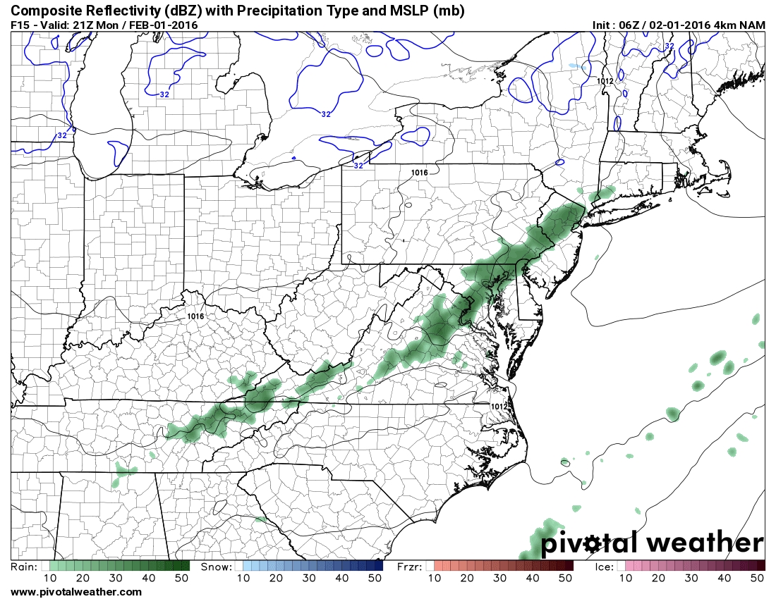 A weak cold front will pass through this afternoon with scattered showers. The best chance for rain will be between 3 and 6pm. It will continue to be warm, with highs in the mid to upper 50s.
We cool a bit tomorrow behind the front, but will remain above normal, with highs in the upper 40s under partly sunny skies.
A stronger cold front with widespread rain is expected to approach on Tuesday night. The front will bring rain, heavy at times and possibly a rumble of thunder on Wednesday. It will be warm, with highs in the low 60s.
The combination of heavy rainfall and continued rapid snowmelt could result in areas of flooding. This threat will have to be monitored closely.
High pressure returns on Thursday and remains in place into the weekend. Highs will be in the mid 40s Thursday and Friday.
 Next snow threat?
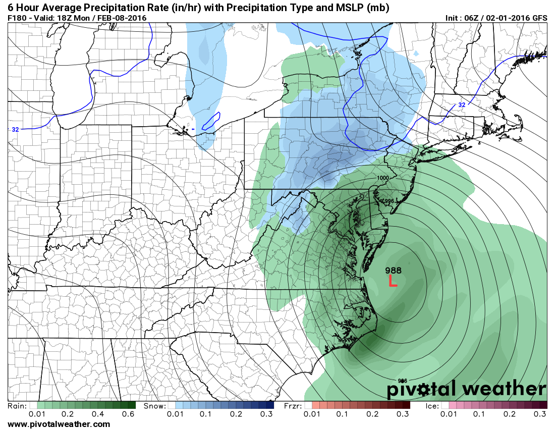
The models are in agreement that we will remain in an active pattern over the next week or so. Whether any one threat materializes remains to be seen, but right now, the best chance for a storm appears to be next Tuesday or Wednesday. There are a lot of details to be worked out, but the ingredients seem to be in place for a coastal storm in that timeframe.
This morning’s GFS shows a coastal low, but a lack of cold air makes it a rain storm for everyone but the mountains. This may or may not come together, but right now, it appears to be the next chance of snow for the east coast.