
Current Advisories:
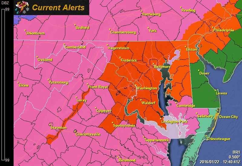
– A Winter Storm Warning has been issued for western Maryland and lower Eastern Shore
– A High Wind Warning & Coastal Flood Watch have been issued for Worcester county
Accumulations: Everything remains on track for a massive, possibly historic snowfall, with the highest totals in western Northern Virginia, where over 3 feet of snow is possible!
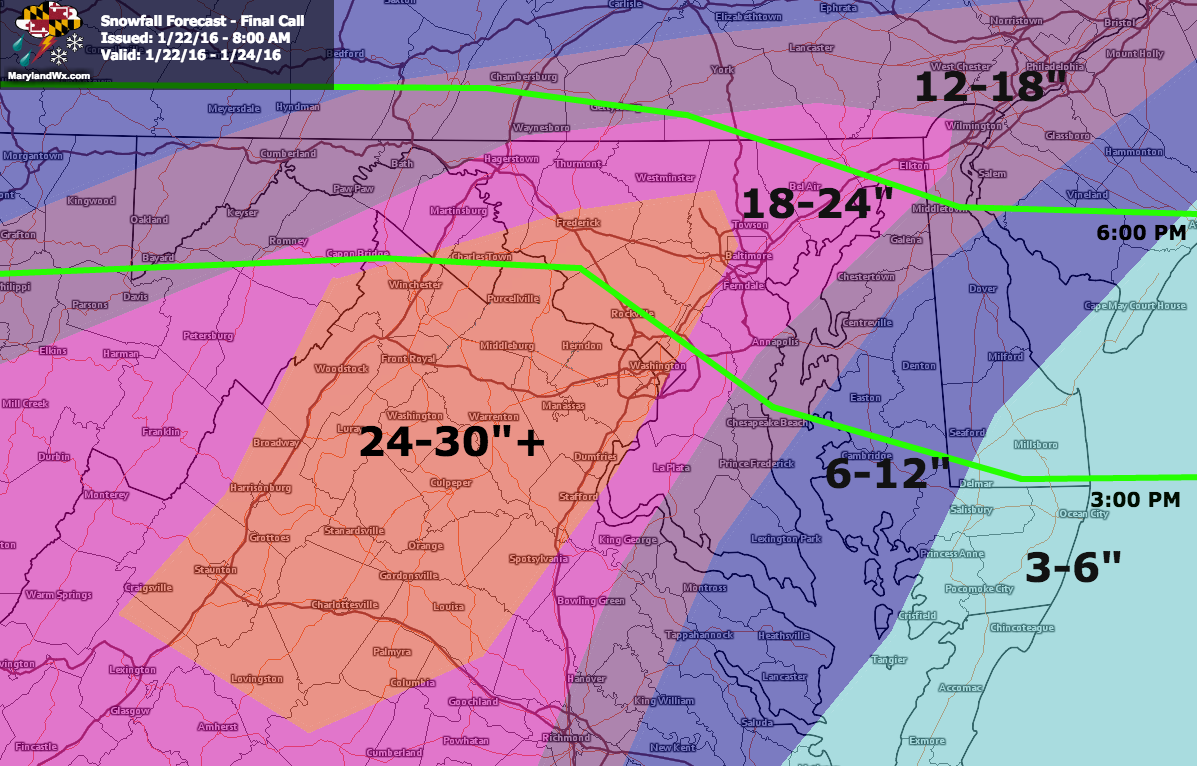
(click to enlarge)
For areas along and just east of of I-95, 18-24″ is likely.
Further south and east, 12-18″ while across extreme southern Maryland and the lower Eastern Shore can expect up to a foot.
Along the coast, where mixing is likely, 3-6″ is possible.
Timing: The snow will develop from southwest to northeast during the afternoon and evening hours today (green lines on the snow map), quickly becoming steady and accumulating by evening. The snow will become heavy tonight and through tomorrow with winds increasing to near 35 mph. During this time, Blizzard conditions will be possible with strong winds and whiteout conditions. The snow will continue into Saturday night before tapering off.
Power outages seem likely, especially for areas east of I-95 where the winds will be the strongest and the snow will be more wet and heavy. Please prepare for this possibility along with the possibility that you may not be able to drive for a few days after.
As always, I will be reporting updates and information on Twitter, Facebook and Google+ throughout the storm, as well as an occasional blog post here as needed.
Stay safe!
Stay up to date with storm information on your favorite social media site!
Follow me on Twitter, Facebook and Google+!