
Summary: Cold high pressure remains overhead today but will shift northeastward tomorrow as low pressure approaches from the south. Low pressure will impact the region this weekend.
After a morning low of 12° here in Millersville, we will warm into the mid to upper 30s this afternoon under sunny skies.
Temperatures tonight will fall “only” into the mid to upper 20s by tomorrow morning and then rebound into the low 40s tomorrow afternoon. Clouds will be on the increase as moisture begins to flow into the region ahead of low pressure to our southwest.
The low will move by well to our northwest, into the Great Lakes region by Friday evening. There is a slight chance of showers in our area Friday afternoon and evening with highs in the upper 40s.
Rain chances continue Friday night before tapering off by Saturday morning. Highs on Saturday will be in the low 50s.
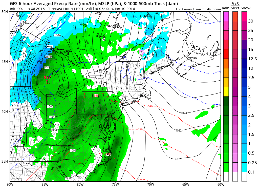
Instead, the low will track well to our west, keeping us on the warm side and producing all rain here. Highs will be in the mid to upper 50s.
Behind that system, another shot of cold air will filter back into the region for the beginning of next week. Highs on Monday will be in the upper 30s to around 40.
Stay up to date with storm information on your favorite social media site!
Follow me on Twitter, Facebook and Google+!