
Summary: An arctic cold front is moving southward and will cross the state today. High pressure builds in for mid week. Low pressure will affect the region by the end of the week.
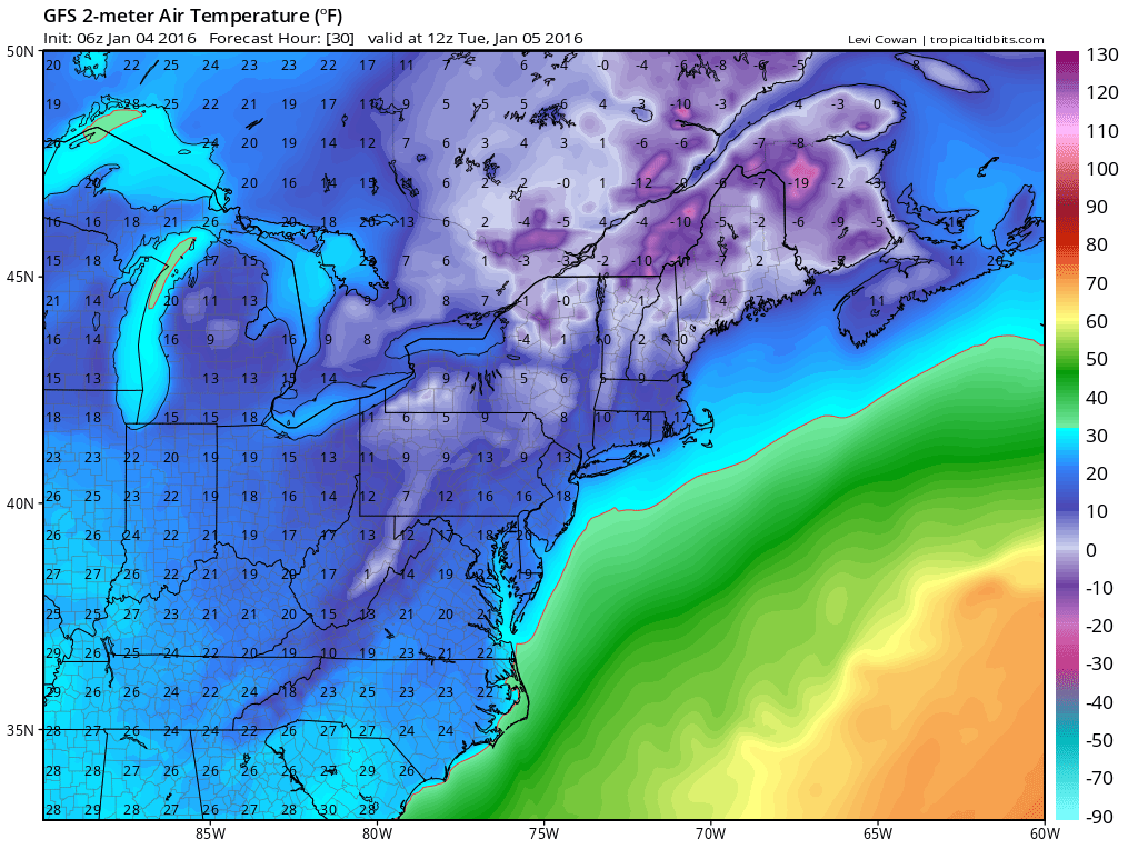
Expect flurries and snow showers to continue through the day as the front passes through. Additionally, temperatures will drop this afternoon and winds will increase, making it feel even colder.
Skies will clear tonight, allowing temperatures to plummet. Lows will bottom out in the mid teens to around 20 by tomorrow morning. The cold temperatures, combined with strong northwest winds will make it feel close to 0 degrees at times.
Tomorrow will be sunny but windy and cold, with afternoon highs in the low 30s. Northwest winds will gust to near 25 mph.
Temperatures will moderate as we move into mid week and towards the latter half of the week. After another cold night tomorrow night, highs on Wednesday will reach the low 40s under mostly sunny skies.
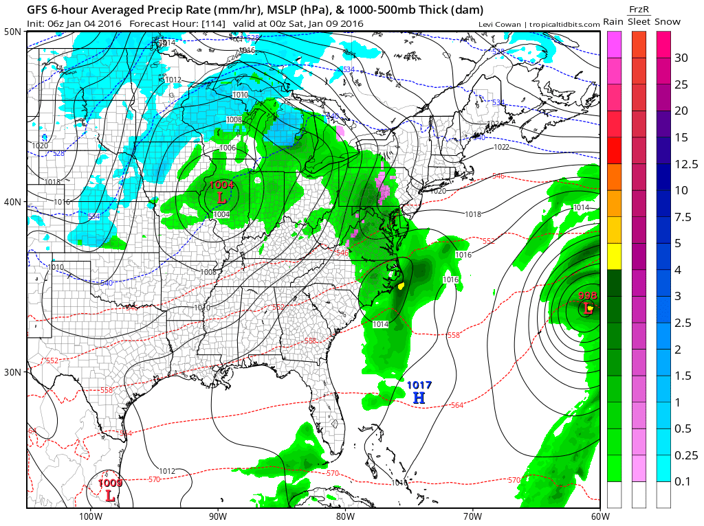
Rain chances increase on Friday and persist into the weekend. Highs will remain in the mid to upper 40s through Sunday.
Beyond that, the models are hinting at the possibility of a coastal storm early next week. Right now it is too early to tell what it will bring to our area, if anything.
Stay up to date with storm information on your favorite social media site!
Follow me on Twitter, Facebook and Google+!