
Summary: Cool high pressure is building into the region today. The high will persist through the weekend. A reinforcing cold front will move through late Monday into Tuesday.
A cold front has passed through the state, ushering in cool high pressure. Today will feature a mix of clouds and sun, with highs in the mid 50s. Northwest winds gust to near 25 mph this afternoon.
Tomorrow will be partly sunny, with highs in the mid 40s.
Mostly sunny skies will return this weekend. Highs will be in the low to mid 40s on Saturday and mid 40s on Sunday.
The front will cross Monday night into Tuesday morning, allowing colder air to enter the region.
Temperatures by Tuesday morning will be in the upper 10s to low 20s, reaching the upper 30s on Tuesday afternoon.
The rest of the week looks seasonable, with highs in the low to mid 40s.
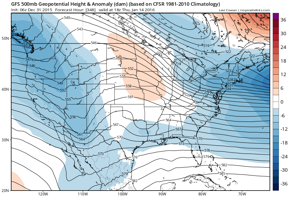
This colder pattern looks to stick around through at least mid-month so it appears that January will not only usher in the New Year, it will usher in actual winter like temperatures and perhaps our first chances at snowfall in the eastern US!
Stay up to date with storm information on your favorite social media site!
Follow me on Twitter, Facebook and Google+!