
Summary: A storm system will push a warm front through today and then a weak cold front through by early Friday. The front will stall out to our south into the weekend and then move back northward.
Expect showers to increase in coverage and intensity this afternoon and last into tonight. Highs will reach the mid 60s this afternoon.
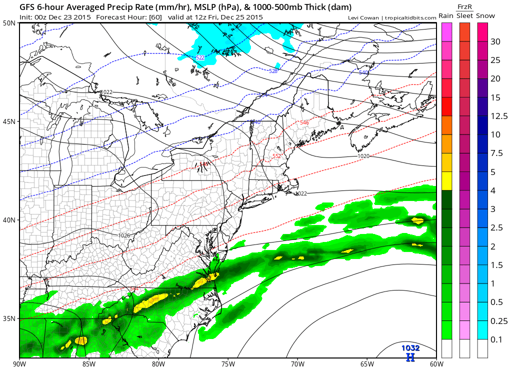
The front will move through early Friday morning and settle just to our south during the day. As a result, expect a damp but rather warm Christmas Day with a few showers possible, especially during the late afternoon and evening. Highs will be in the low to mid 60s.
Rain chances increase Friday night and Saturday as the front moves back northward. Highs will be in the upper 50s to low 60s Saturday.
Rain chances decrease through Saturday night and Sunday but it will remain warm, with highs on Sunday back up into the upper 60s to near 70°.
Another system will bring rain to the area early next week.
By the end of next week, the pattern looks to change, bringing in much colder and more seasonable air. How long the cold sticks around remains to be seen.
Stay up to date with storm information on your favorite social media site!
Follow me on Twitter, Facebook and Google+!