
Summary: High pressure will control our weather through the day as a cold front approaches from the west. The front will move into the area tomorrow. Another system will move towards the area late Wednesday, bringing a cold front through late Thursday into Friday.
After a chilly start, temperatures will climb into the low to mid 50s today under cloudy skies.
The first full day of astronomical winter will feel more like spring with showers overspreading the state early tomorrow morning, lasting into the afternoon and evening hours. Highs will be near 60.
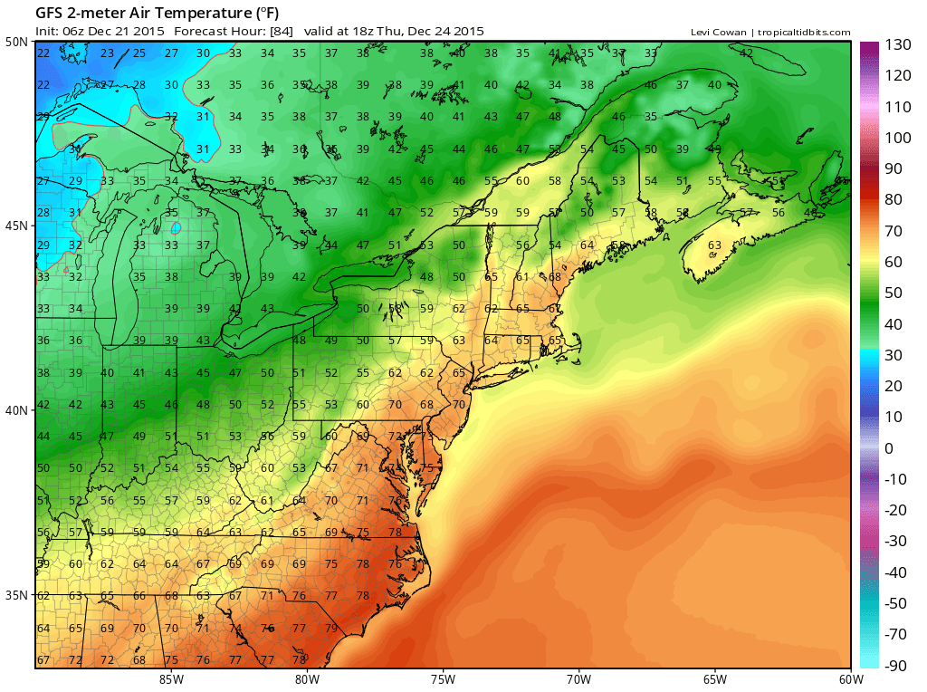
Thursday will be the warmest day of the week, with highs reaching the low to mid 70s. Showers will be possible during the afternoon and evening as a weakening cold front passes through.
Christmas Day will feature decreasing clouds and highs in the mid 60s.
We will remain mild into the weekend, with highs in the mid to upper 50s both Saturday and Sunday.
Stay up to date with storm information on your favorite social media site!
Follow me on Twitter, Facebook and Google+!