
Summary: High pressure off of the southeast coast will remain in control of our weather through the weekend. A cold front will cross on Monday.
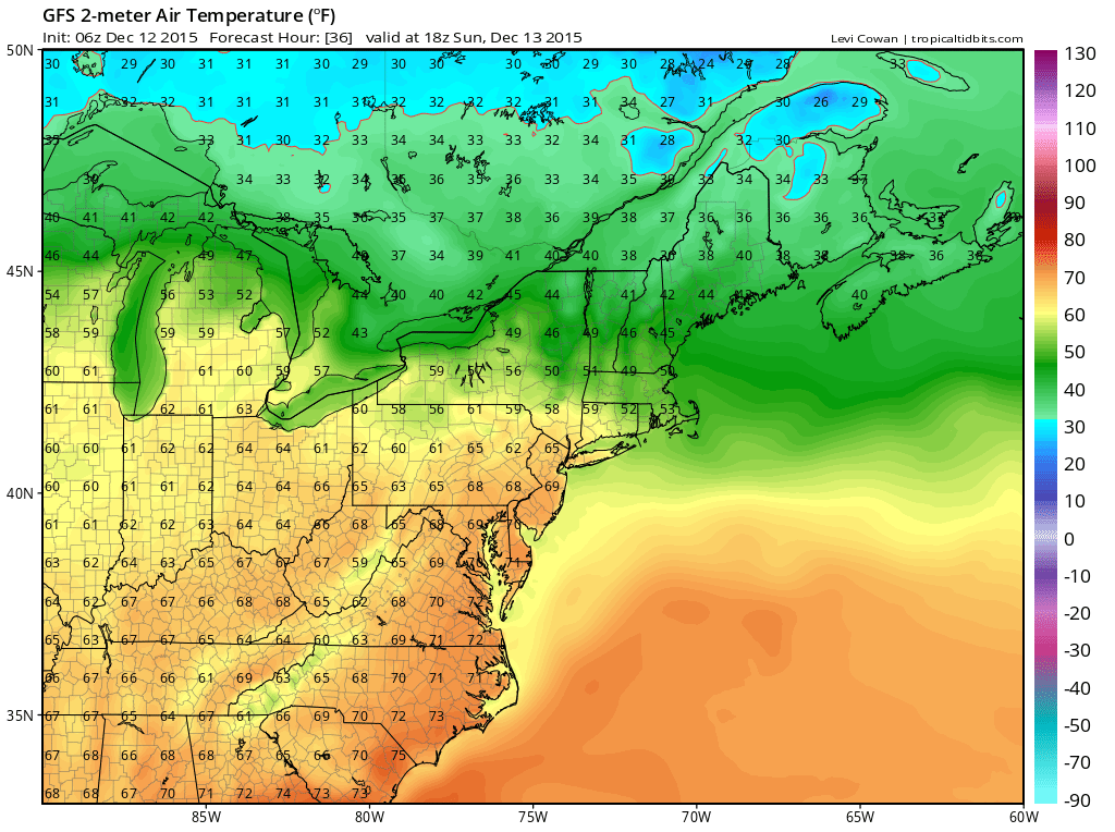
Near record high temperatures are expected today, tomorrow and Monday as high pressure to our southeast keeps warm air over our region.
Today’s high is expected to reach the mid to upper 60s under partly sunny skies. The record high temperature for today at BWI is 71°, set in 1979.
A cold front will approach and move through on Monday with scattered showers. Before it does, temperatures are expected to once again reach the mid to upper 60s. Monday’s record high temperature at BWI is 71°, set in 1979.
Temperatures behind the front will drop slightly, but not much. Highs Tuesday through Thursday will be in the upper 50s to low 60s.
Another system will move through towards the end of the week, bringing in more normal temperatures as we move into next weekend.
Stay up to date with weather information on your favorite social media site!
Follow me on Twitter, Facebook and Google+!