
Summary: High pressure will continue to slide east and off the coast as a cold front moves towards the region. The front will move into the area late tomorrow and through late Thursday. High pressure returns on Friday and into the weekend.
Today will feature a mix of clouds and sun with highs in the upper 50s to around 60.
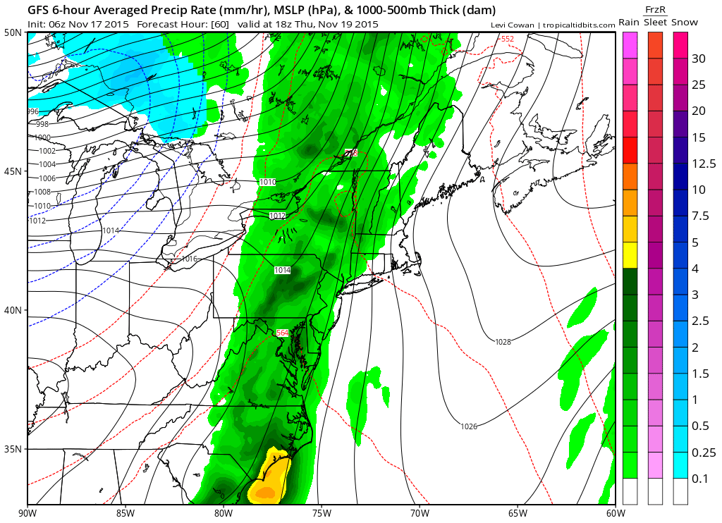
Clouds will increase tomorrow as a cold front moves in from the west. The front will spread showers into our area by late afternoon and early evening. It will be breezy, with highs in the low to mid 60s.
High pressure will return on Friday, bringing a return of sunshine, breezy conditions and cooler temperatures both Friday and Saturday. Highs will be in the low to mid 50s both days.
A weaker system will move by to our northwest on Sunday, bringing another cold front through our area. This front may trigger a few passing showers with a few snow flakes mixing in early Sunday morning. This system will bring in the coldest air of the season thus far with highs on Sunday only reaching the mid 40s.
It will be dry and cold to begin next week. Highs will remain in the 40s to near 50 Monday and Tuesday.
Stay up to date with storm information on your favorite social media site!
Follow me on Twitter, Facebook and Google+!