
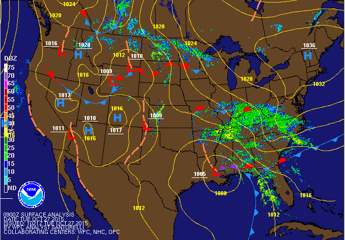
Summary: High pressure is moving away as low pressure moves in from the southwest. The low will move by to our west, dragging a cold front through tomorrow night into Thursday. High pressure returns to end the week.
The rain will pick up in intensity overnight and into tomorrow morning, with the heaviest of the rain falling during the morning hours tomorrow. Highs will be in the upper 50s today and upper 60s tomorrow.
Rain will continue into tomorrow afternoon, tapering to showers during the late afternoon and evening. There is a slight chance of a thunderstorm during the afternoon hours as well. Some of the heavier showers and storms could produce strong gusty winds.
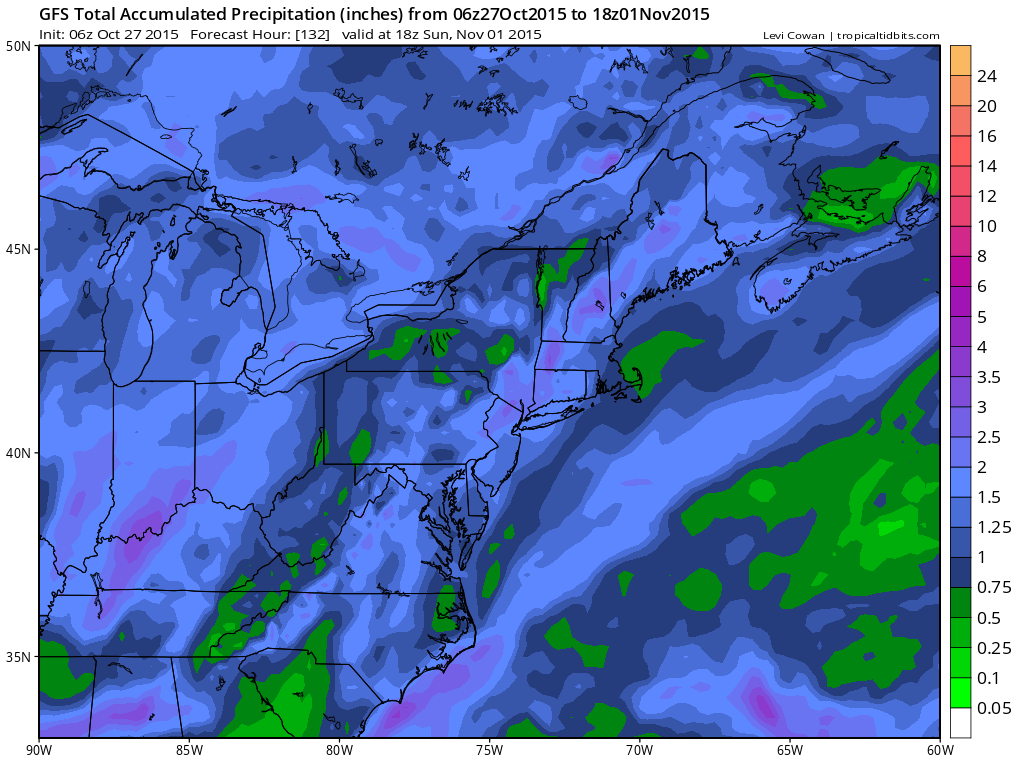
Rainfall totals will average 1-1.5″ across the state when all is said and done.
Thursday will feature clearing skies and gusty winds. Highs will be in the low 70s.
High pressure will push in on Friday, providing sunny skies both Friday and Saturday. Highs will be in the upper 50s to around 60 each day.
Another front will approach late Sunday or Monday, with another chance of showers.
Stay up to date with storm information on your favorite social media site!
Follow me on Twitter, Facebook and Google+!