
Summary: High pressure overhead today will be pushed eastward tomorrow as low pressure moves to our west on Wednesday. High pressure will build back in behind teh system to end the week.
High pressure to the north today will produce mostly sunny skies over our area. Highs will be in the upper 50s to around 60.
An area of low pressure will move from the Gulf Coast, northeastward tomorrow. This system will spread clouds and eventually showers into our area by tomorrow evening. Highs will be in the upper 50s.
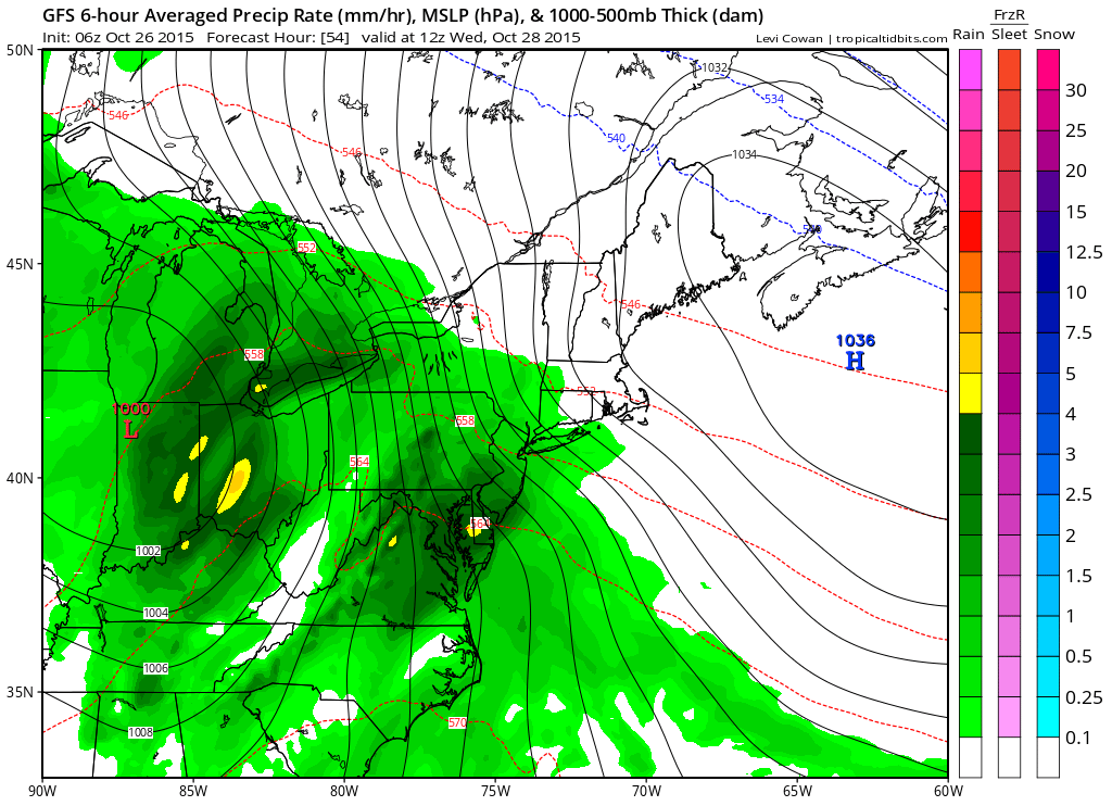
Showers will likely linger into Wednesday night until a cold front clears the area by Thursday morning. Rainfall totals of 1-1.5″ are likely across the state.
We clear out on Thursday and highs will likely push into the mid to upper 60s.
Cooler air will flow into the region on Friday as high pressure builds in. Highs will be back in the upper 50s to around 60.
High pressure will remain in control Saturday before another system approaches Sunday with more showers.
Stay up to date with storm information on your favorite social media site!
Follow me on Twitter, Facebook and Google+!