
Summary: A cold front will move through this evening. High pressure will build in for tomorrow and Saturday. Another cold front will slide through on Sunday.
High pressure returns, resulting in mostly sunny skies tomorrow and Saturday. Highs will be in the low to mid 60s both days.
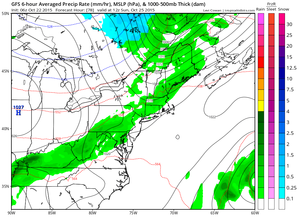
Another cold front will slowly push through on Sunday. This front will have a bit more moisture to work with, so isolated to scattered showers are possible. Highs will be in the mid to upper 60s.
High pressure returns for the first part of next week before another front approaches and moves through midweek. Temperatures will remain in the low to mid 60s through the period.
Stay up to date with storm information on your favorite social media site!
Follow me on Twitter, Facebook and Google+!