
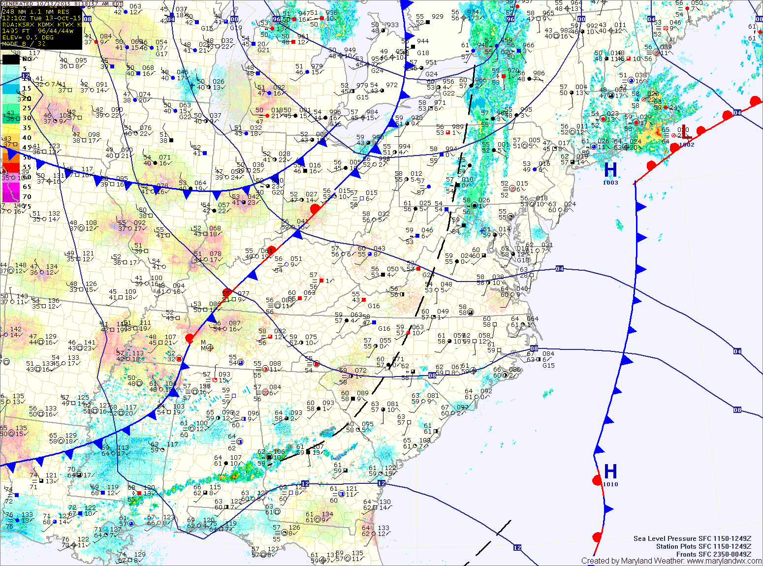
Summary: A cold front will cross today with high pressure building in through Thursday. Another cold front will cross on Friday followed by cool high pressure for the weekend.
High pressure takes control of the weather tomorrow and Thursday, with highs in the mid 60s under mostly sunny skies.
Another front will cross on Friday and this too will be a mainly dry passage. There is a slight chance of a shower as the front pushes through but any rainfall will be light. Highs will be in the mid 60s.
Cool Canadian high pressure will build in behind the front resulting in mostly sunny skies this weekend. The high will also bring the coolest air of the season so far. Highs on Saturday will be in the upper 50s to around 60 and will fall into the low to mid 30s Saturday night.
Sunday will see highs in the mid 50s and overnight lows once again in the low 30s. With calm winds and clear skies, frost is likely both Saturday and Sunday nights.
Temperatures will begin to warm as the high slips off shore next week but we will remain dry through at least Thursday.
Stay up to date with storm information on your favorite social media site!
Follow me on Twitter, Facebook and Google+!