
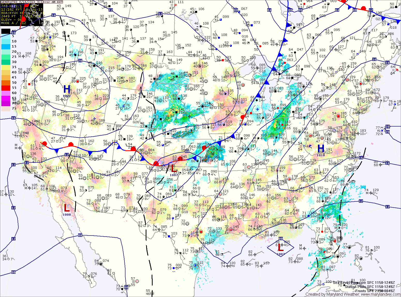
High pressure remains in control today and tomorrow. A weak cold front will move through the state tomorrow night into Sunday morning.
SATURDAY: With high pressure still holding as a weak cold front approaches from the west, expect mostly sunny skies and highs in the mid 80s.
SUNDAY: The cold front will be sliding through the state late Saturday night into early Sunday morning. The front will be weak with very little moisture so most places will remain dry with just a slight chance of a stray shower. Any clouds will clear by the afternoon, with highs reaching the upper 70s.
MONDAY: The front will stall out to our south as high pressure builds to our north east. These two features will create easterly flow resulting in a mostly cloudy and cooler day with a slight chance of showers. Highs will be in the low to mid 70s.
OUTLOOK: A shower can’t be ruled out on Tuesday but conditions will be improving as we head towards the middle and latter half of the work week. Highs will be in the upper 70s to low 80s Tuesday through Thursday.
Stay up to date with storm information on your favorite social media site!
Follow me on Twitter, Facebook and Google+!