
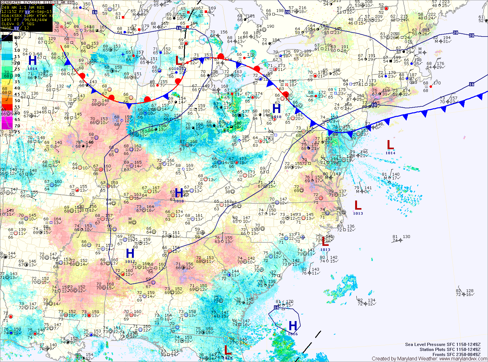
A back door cold front is pushing into the area from the north east. High pressure builds in this weekend and into next week.
SATURDAY: High pressure will build in from the north east, bringing cooler and drier air. Highs will be in the low 80s under mostly sunny skies.
SUNDAY: Expect mostly sunny skies and highs in the low 80s.
LABOR DAY: Temperatures will begin to inch upward but it will remain pleasant, with highs in the mid 80s under mostly sunny skies.
OUTLOOK: Temperatures will continue to increase Tuesday and Wednesday, with highs nearing 90° before a cold front approaches on Thursday.
Stay up to date with storm information on your favorite social media site!
Follow me on Twitter, Facebook and Google+!