
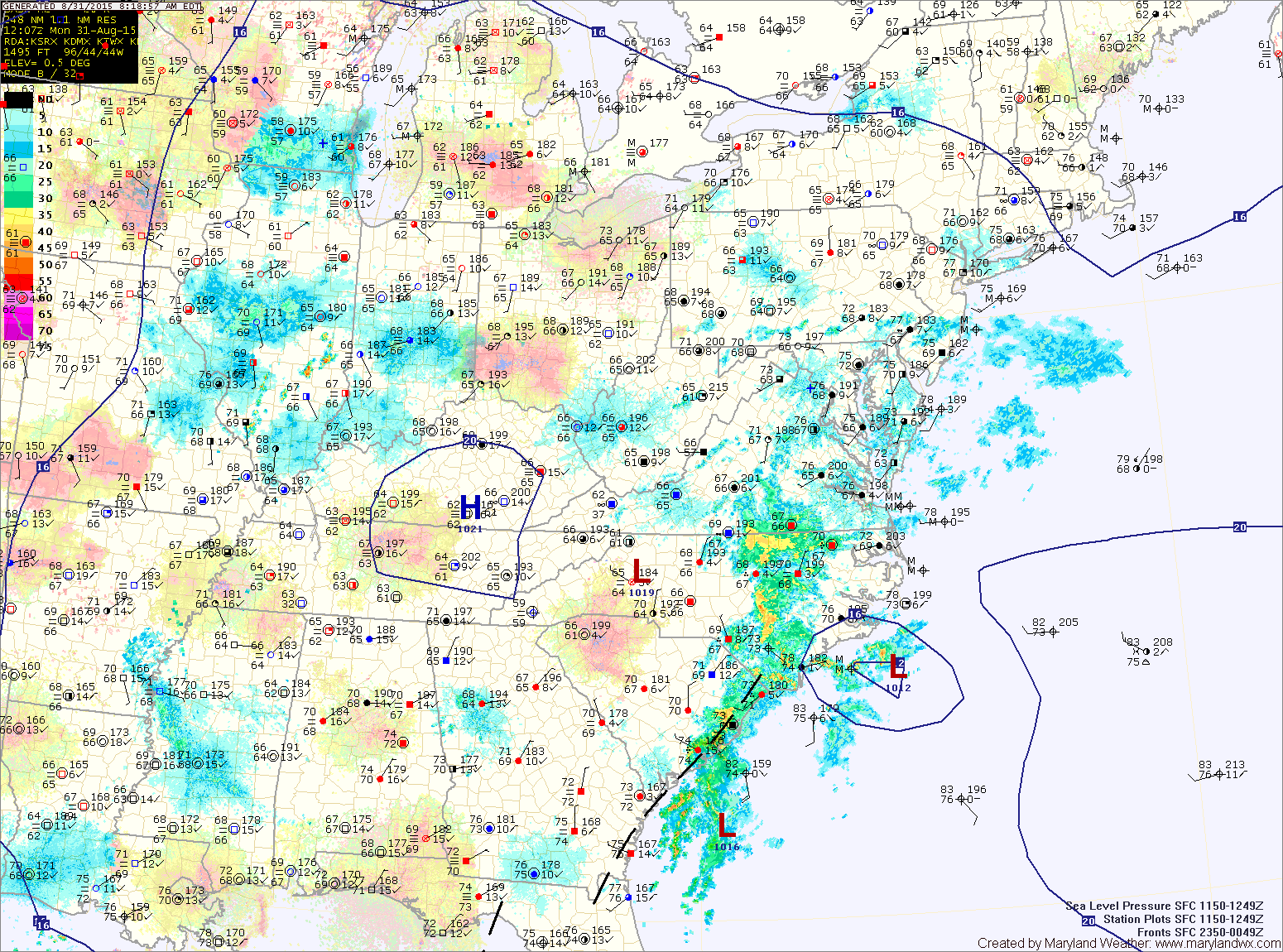
High pressure is off the coast this morning while a weak trough moves in from the west. High pressure will return for much of the week.
TUESDAY: Tuesday is the first day of Meteorological Fall but it will certainly feel like summer. High pressure over the southeast will reassert its presence, resulting in hot and humid conditions. Highs will be around 90° under mostly sunny skies.
WEDNESDAY: High pressure will remain in control, keeping our area warm and humid. There is a slight chance of afternoon showers and storms, especially over the mountains. Highs will be in the upper 80s to around 90°.
THURSDAY: Mostly sunny, warm and humid with a slight chance of showers and thunderstorms. Highs around 90°.
FRIDAY: Continued mostly sunny, warm and humid with a slight chance of showers and thunderstorms. Highs in the upper 80s to around 90°.
WEEKEND OUTLOOK: It will be cooler with a chance of showers and thunderstorms, mainly on Saturday. Highs will be in the mid 80s both Saturday and Sunday.
Stay up to date with storm information on your favorite social media site!
Follow me on Twitter, Facebook and Google+!