
A cold front will cross the state this evening. High pressure will build in behind the front and persist into the weekend.
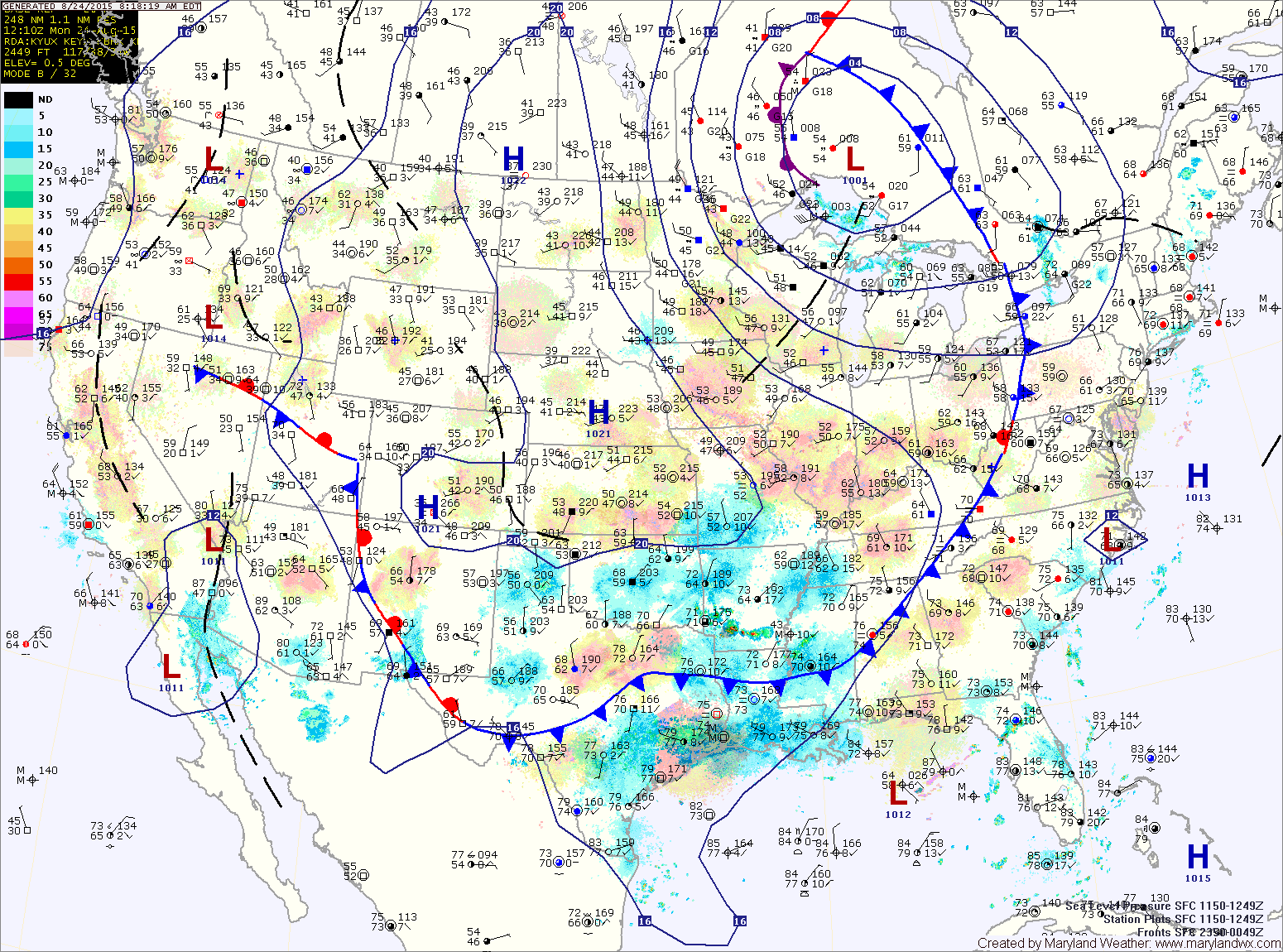
The front will shift eastward and clear the state late tonight.
TUESDAY: High pressure begins to push into the region, beginning a stretch of pleasant weather. Expect mostly sunny skies and highs in the low 80s.
WEDNESDAY: Mostly sunny and pleasant. Highs in the low 80s.
THURSDAY: Continued mostly sunny and nice. Highs in the low 80s.
FRIDAY: Sunny. Highs in the low 80s.
WEEKEND OUTLOOK: The high pressure begins to move eastward, allowing temperatures to climb a bit as we head into the weekend. Highs on Saturday will warm into the mid to upper 80s and humidity will increase. Afternoon and evening showers and thunderstorms are possible. Sunday will be similar, with a better chance for storms.
Stay up to date with storm information on your favorite social media site!
Follow me on Twitter, Facebook and Google+!