
A cold front is approaching from the west and will pass through tonight into tomorrow morning. High pressure will build in for the weekend.
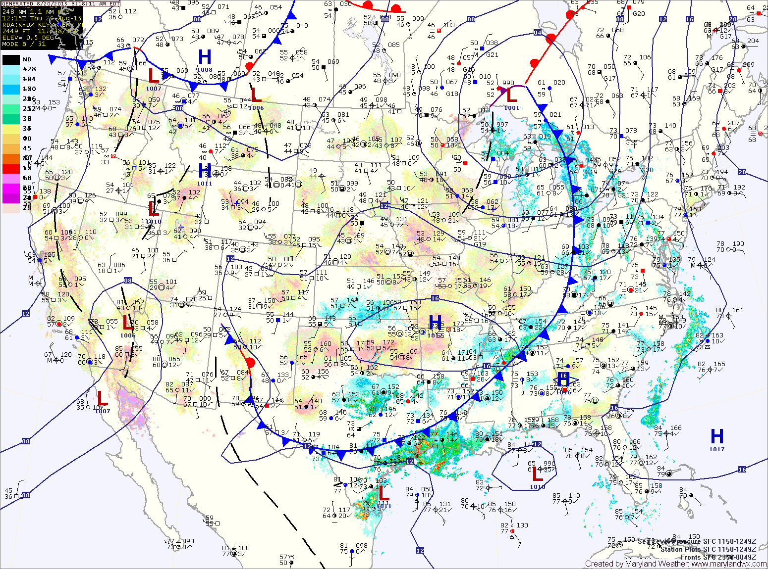
A Flash Flood Watch is in effect for the Baltimore and DC metro areas through this evening. Rainfall totals of 1-2+ inches are possible in the watch area. Highs will be in the mid 80s.
FRIDAY: The front will clear the area by early morning leading to decreasing clouds and mostly sunny skies by the afternoon. Highs will be in the low to mid 80s.
SATURDAY: High pressure builds in, resulting in mostly sunny skies and highs in the mid 80s.
SUNDAY: Expect more of the same, mostly sunny skies and highs in the mid 80s.
OUTLOOK: Warmer and more humid air will begin to move back into the region as we head into next week. Highs on Monday will be in the mid to upper 80s. A weak front will pass through Monday night into Tuesday, dropping temperatures back down into the low to mid 80s Tuesday and Wednesday.
Stay up to date with storm information on your favorite social media site!
Follow me on Twitter, Facebook and Google+!