
A storm system will push a warm front through the area today, followed by a cold front tomorrow. Behind the system, high pressure builds in and takes control for the rest of the week.
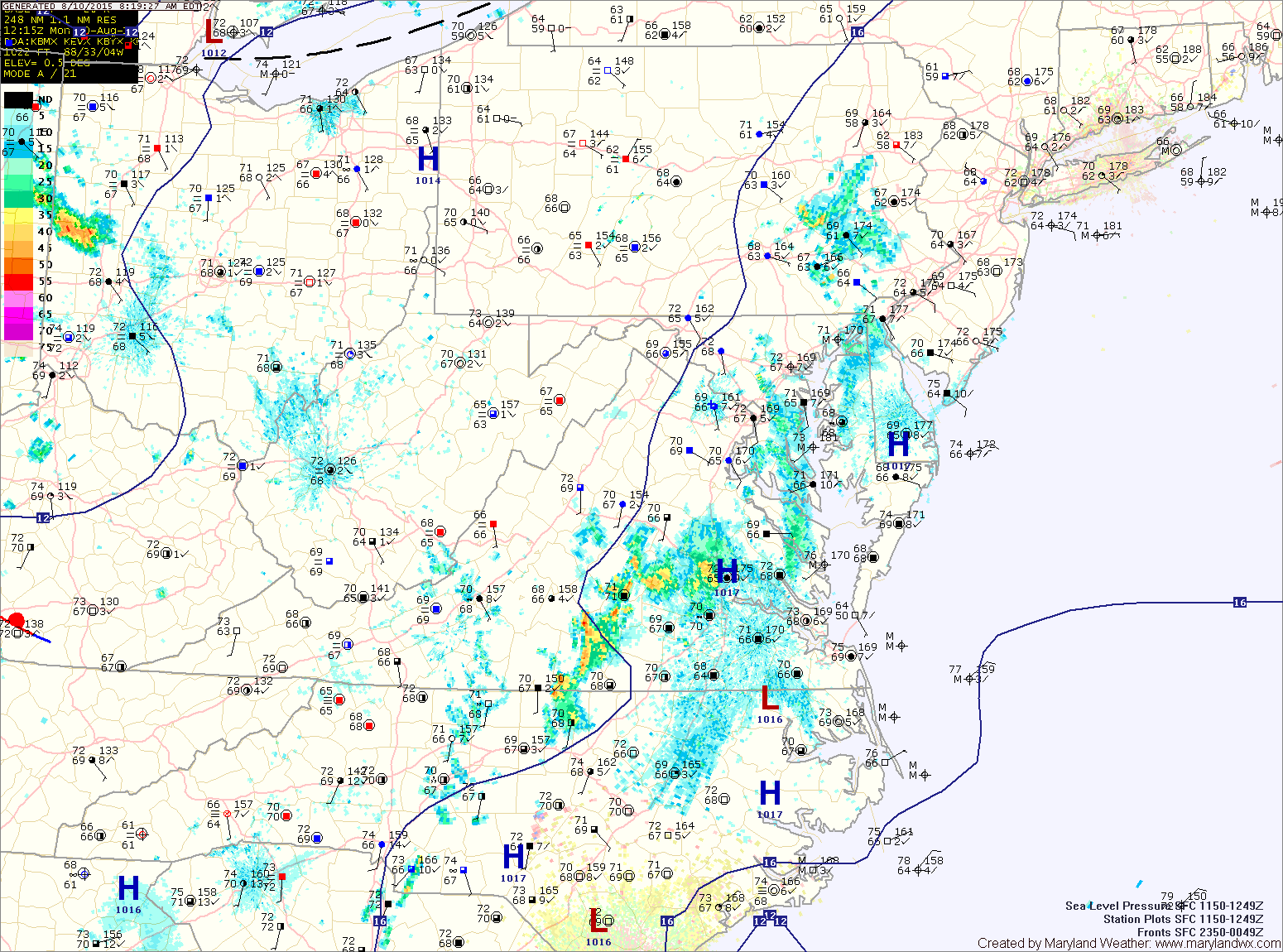
Showers will remain likely tonight and a thunderstorm cannot be ruled out.
TUESDAY: Showers and thunderstorms will continue to move through the state during the morning and through the afternoon and tapering off towards the evening. Highs will be in the mid 80s.
WEDNESDAY: High pressure builds in resulting in mostly sunny skies and highs in the low 80s.
THURSDAY: Expect mostly sunny skies and highs in the low 80s.
FRIDAY: Highs will push into the mid to upper 80s under mostly sunny skies.
WEEKEND OUTLOOK: A weak cold front will move into the area this weekend with limited moisture. As a result, an isolated shower or thunderstorms is possible both Saturday and Sunday, with highs in the mid 80s both days.
Stay up to date with storm information on your favorite social media site!
Follow me on Twitter, Facebook and Google+!