
An area of low pressure will move by to our south today into tomorrow. High pressure builds in for the weekend followed by a cold front on Tuesday.
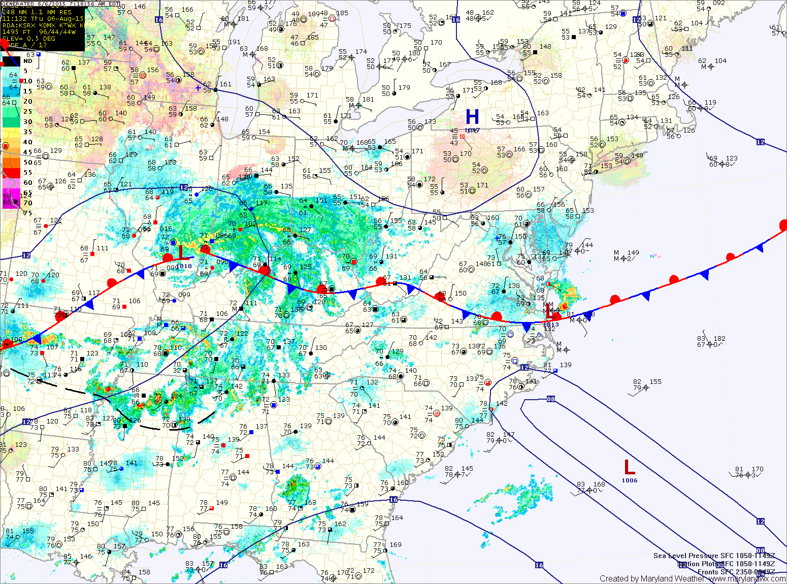
Showers will increase in coverage later this evening and tonight, especially across southern Maryland and the lower Eastern Shore. Highs will be in the low to mid 80s.
FRIDAY: The low will continue pushing eastward and away from the area, ending rainfall from west to east during the afternoon and evening hours. Highs will be around 80°.
SATURDAY: High pressure builds in behind the system resulting in mostly sunny skies and highs in the low 80s.
SUNDAY: Expect mostly sunny skies and highs in the low to mid 80s.
OUTLOOK: A cold front will begin pushing towards the area Monday. Out ahead of it, expect warmer and more humid air to build resulting in isolated showers and thunderstorms and highs in the mid to upper 80s. The front will arrive on Tuesday with more showers and storms.
Stay up to date with storm information on your favorite social media site!
Follow me on Twitter, Facebook and Google+!