
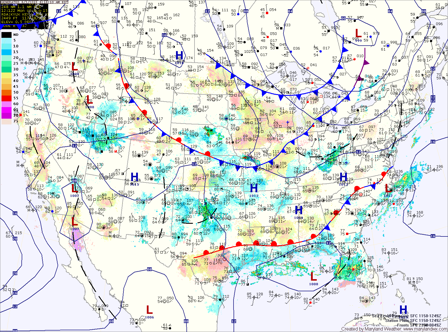
A cold front will move towards the state today. This front will stall over the area tonight and and remain in place into Friday. Low pressure will ride along the front Thursday and Friday followed by high pressure for the weekend.
TUESDAY: The front will remain in place tomorrow, keeping isolated showers and thunderstorms possible, mainly during the afternoon and evening hours. Highs will be in the upper 80s to around 90°.
WEDNESDAY: The front may push a bit southward, putting the focus on isolated storms across southern Maryland while the remainder of the state remains mostly sunny and warm. Highs will be in the upper 80s.
THURSDAY: An area of low pressure is expected to develop and ride along the stalled front, bringing showers and thunderstorms to the state. Highs will be in the low to mid 80s.
FRIDAY: The low will continue to impact our area with showers and thunderstorms. Highs will be in the low 80s.
WEEKEND OUTLOOK: The low will depart late Friday and high pressure will build in for the weekend. Highs will be in the low 80s both Saturday and Sunday.
Stay up to date with storm information on your favorite social media site!
Follow me on Twitter, Facebook and Google+!