
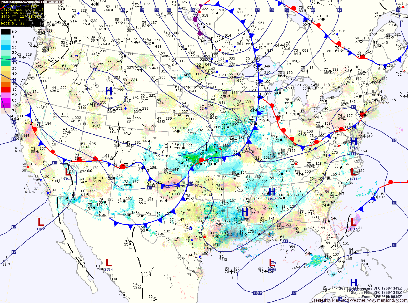
Weak high pressure remains over the area today while a cold front remains to our west. The front will move into the area tomorrow followed by high pressure for the weekend.
THURSDAY: A cold front will move into and across the state, touching off showers and thunderstorms. Highs will likely reach 90° before the front and rain move in.
FRIDAY: High pressure begins to build back in behind the cold front resulting in mostly sunny skies. Highs will be in the upper 80s.
SATURDAY: Mostly sunny and warm, with highs in the upper 80s to around 90°.
SUNDAY: Mostly sunny, with highs around 90°.
Stay up to date with storm information on your favorite social media site!
Follow me on Twitter, Facebook and Google+!