
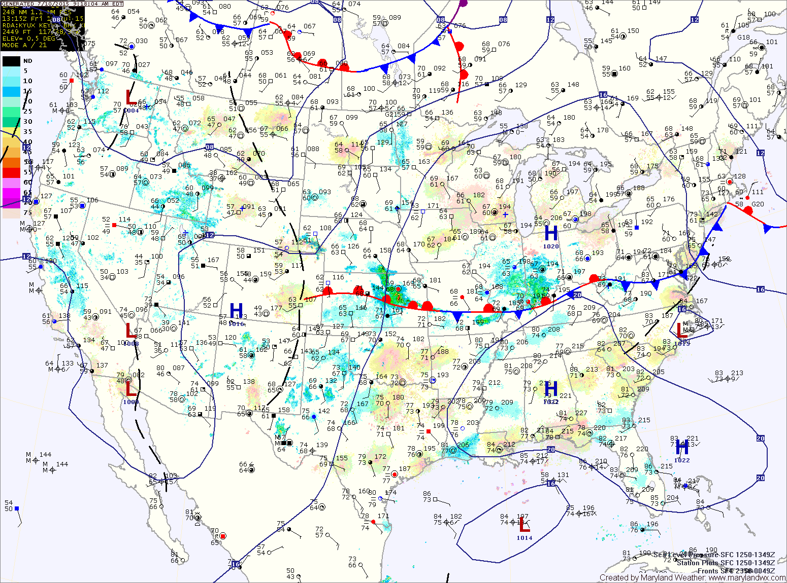
TODAY: A cold front will remain stalled out to our south today, leaving our area mostly sunny. It will be breezy, with afternoon highs in the mid to upper 80s.
SATURDAY: A disturbance will move by to our south tomorrow. This will spread scattered showers and thunderstorms into the state, with best rain chances across southern Maryland and the lower Eastern Shore. Highs will be in the mid 80s.
SUNDAY: High pressure takes control and slides off of the coast during the day. This will lead to mostly sunny skies but increased humidity and highs in the mid to upper 80s.
MONDAY: Expect partly sunny skies, warm and humid conditions with isolated afternoon and evening thunderstorms. Highs will be in the mid to upper 80s.
OUTLOOK: Thunderstorm chances continue each day next week as we remain in a warm and humid airmass. Afternoon highs will generally be in the upper 80s to around 90° each day.
Stay up to date with storm information on your favorite social media site!
Follow me on Twitter, Facebook and Google+!